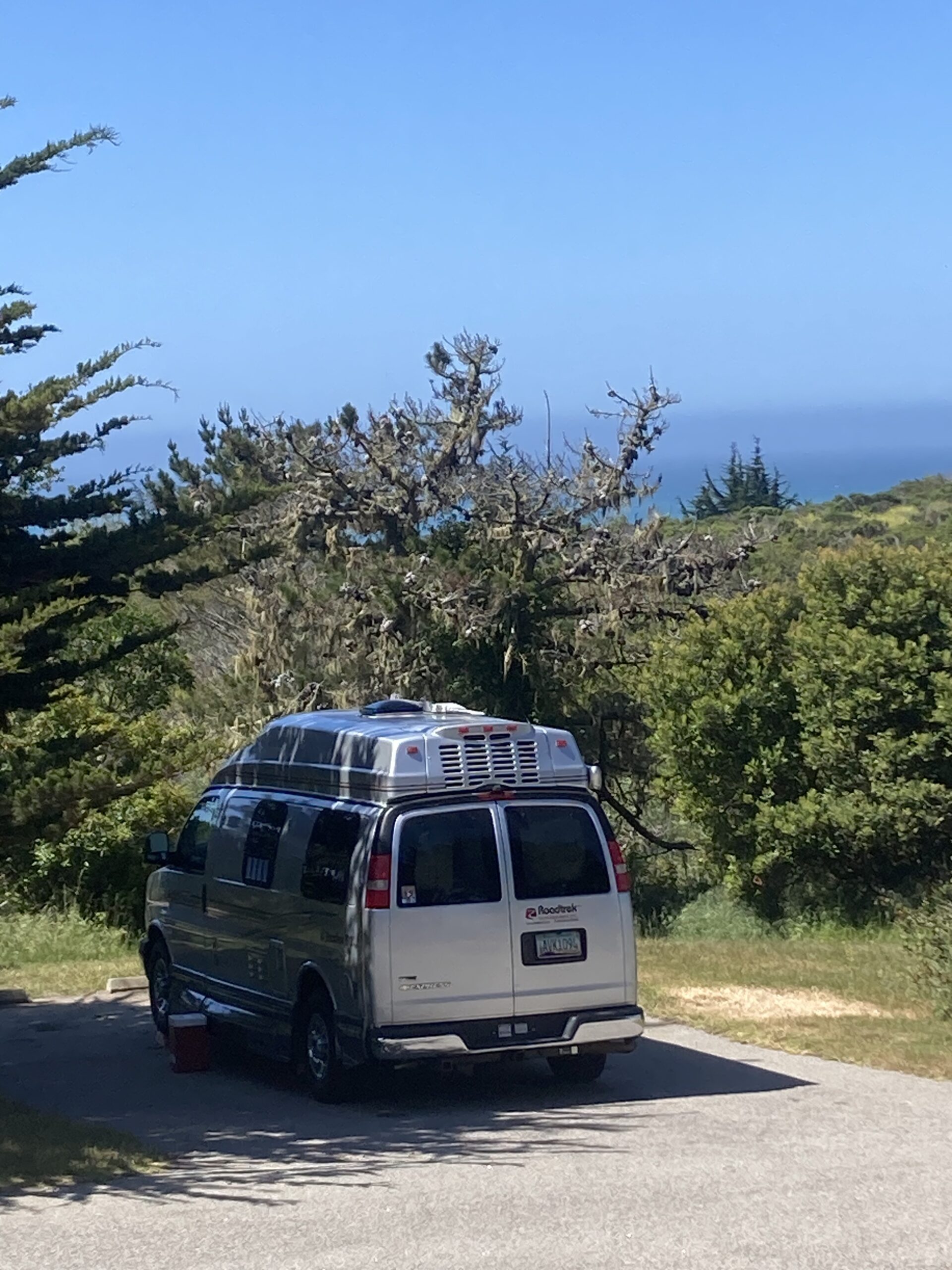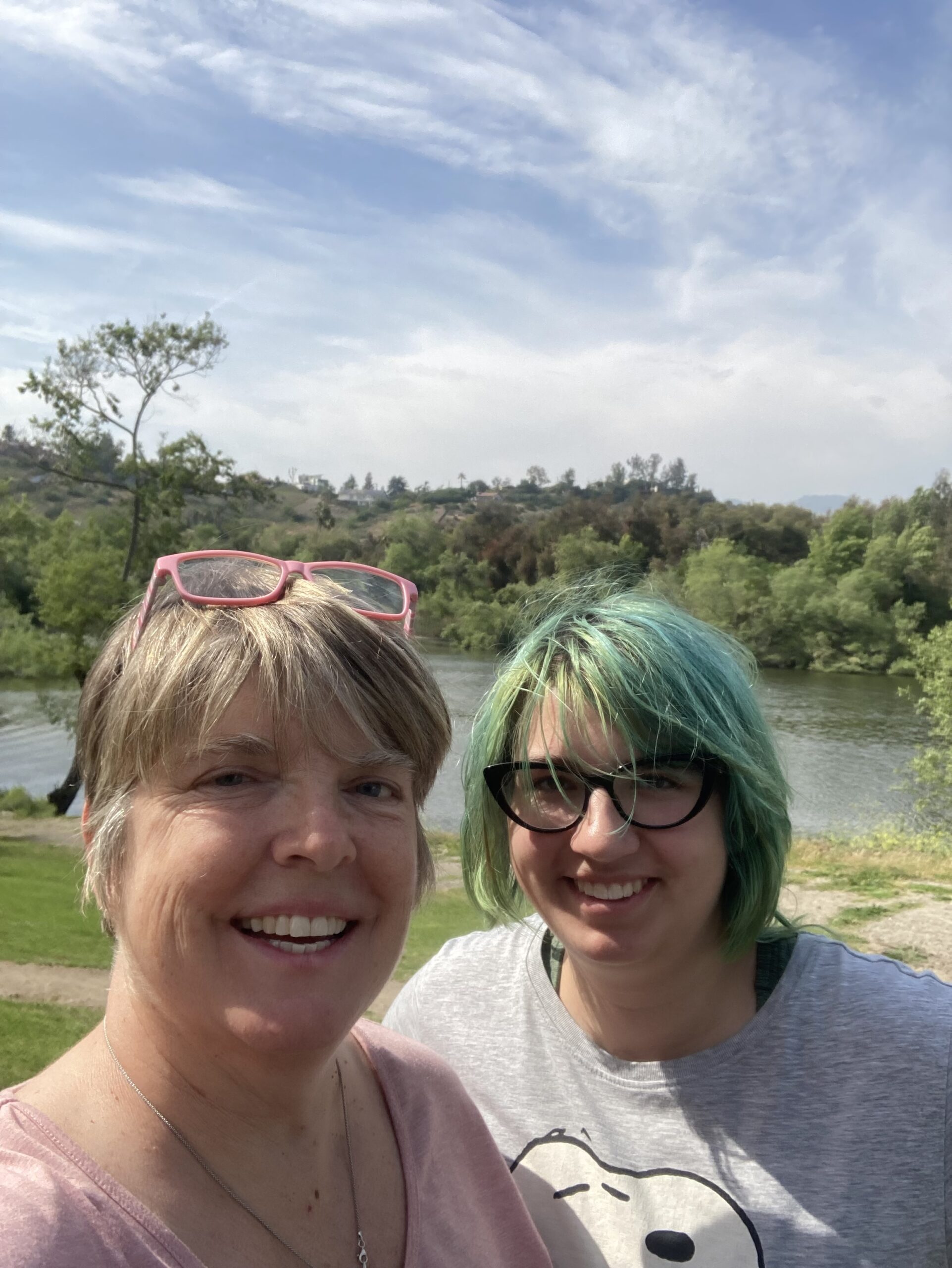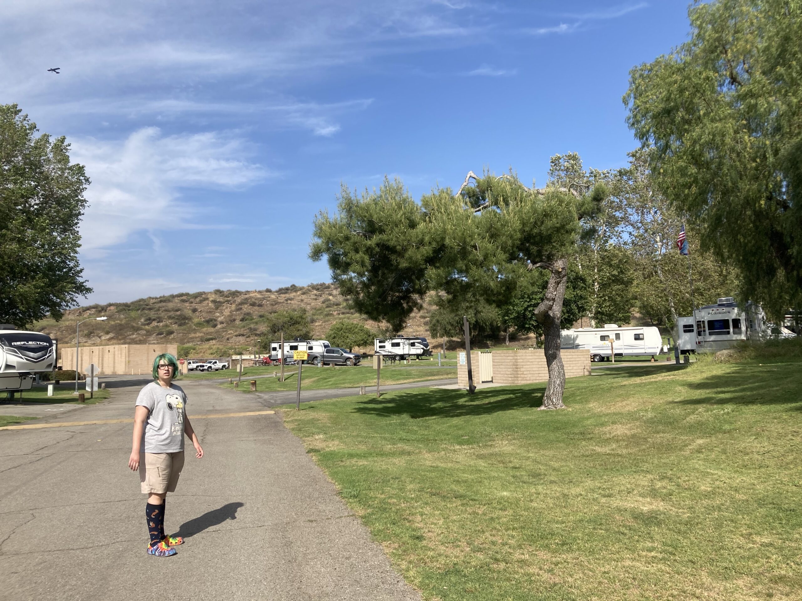
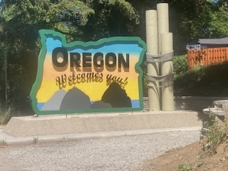
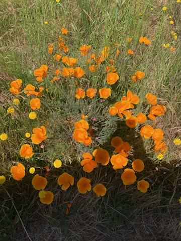
For some reason, I feel like every National Park or National Monument we visit requires us to navigate through some backwoods, country, 2-lane road with iffy signs, spotty cell signal, and few inhabitants. Not surprisingly, Crater Lake is no different. We exited the actual highway (5) at Canyonville, Oregon, a lovely town with a Native American reservation, casino, gas station and truck stop, and old town area all along main street that is quaint and, in theory, a visitor’s information center (although we never actually found it). Although I drove the entire way, I’m not sure I can accurately tell you how we got to Highway 62, about 50 miles from Crater Lake, in Shady Cove at Roque Elk campground, where we stopped for the night. We passed through the village of Tiller, there were a lot of windy roads in various states of repair and reconstruction, some houses, lots of red barns, and a plethora of extremely tall trees and farmland as far as the eye could see. We drove way up into the mountains, climbing higher and higher as the road twisted and turned. The turns were unlike any I have ever driven – they never seemed to end – I felt as though we nearly made a full circle before we started another endless turn in the opposite direction. To spare the brakes, for the first time in a long time, I relied on the manual gears using the engine to help slow us down. The heaviness of the RV and the steep 8% downhill grades made for a tricky combination. After an eternity of Mom worrying we were going the wrong way, Allita making random comments about farm animals, and me just trying to keep us all alive on these teeny, twisty roads with the occasional “abrupt shoulder” and “loose gravel” signs and random gusts of wind, somehow we magically popped up on Highway 62. We saw a sign for the campground and nabbed a spot overlooking the rushing Rogue river. Toby slept the entire time because he has complete trust in my driving skills and has adapted to life on the road. Also, I medicate him for his allergies every morning.
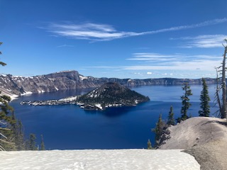
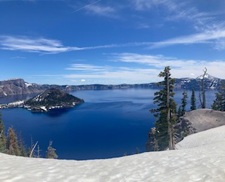
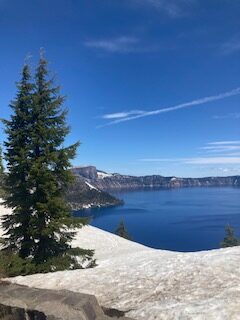
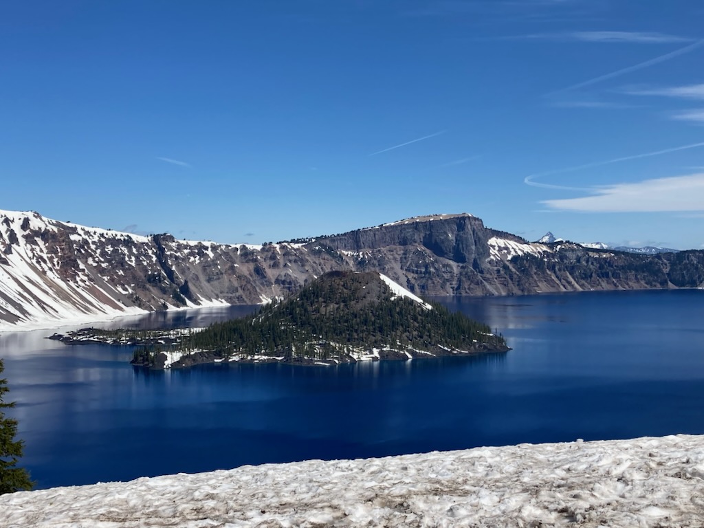
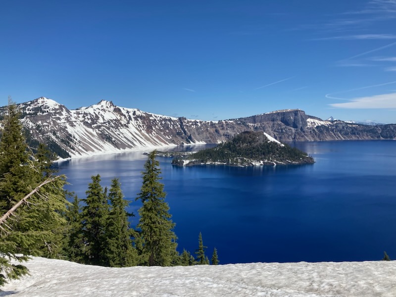
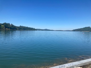
Crater Lake National Park is located at the peak of the Cascades in one of the most snowy places we have visited in a very long time – even now, only one road into the park is open and the rest are literally buried under feet of snow. According to the park rangers, the roads will hopefully be uncovered and open for travel by July 4th, if they are fortunate. This past winter, they got between 42 and 50 feet of the stuff, with the deepest at the park village where we stopped for the day to view the lake and have a warm snack. It was 49 degrees at 1pm – a toasty day for end of May. Yikes!

The rangers told us lots of interesting facts:
Crater Lake is nearly 1,950 feet deep – the deepest lake in the United States and the deepest in the world formed by volcanic activity. It holds very close to 5 TRILLION GALLONS of water!
Most of the water in the lake comes from snow and rain directly on the lake and the rest comes from runoff. Interestingly, the water is so clean and clear that you can see as far as 130 feet below the surface. Supposedly even cleaner than the water from your own home faucet!
The lake formed when Mount Mazama, a currently dormant volcano, erupted by implosion nearly 8,000 years ago. They believe it was the most powerful eruption on this continent in the last 640,000 years. The small island in the center, Wizard Island, formed as a result of smaller eruptions following the big one and it emerged from the lake around 7,000 years ago.
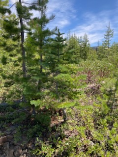
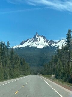
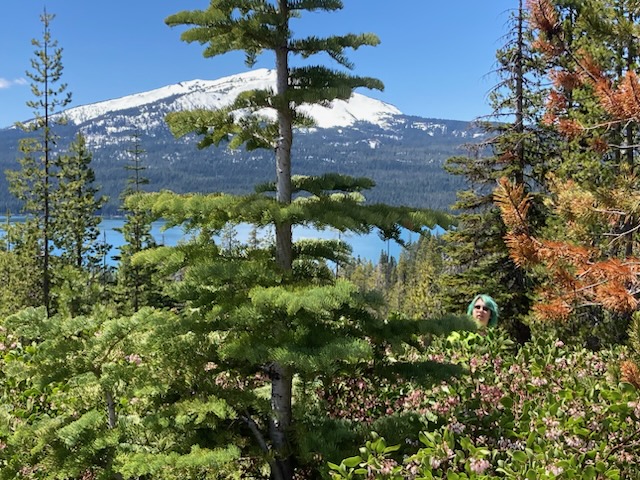
Mount Mazama is only one of the many nearby volcanoes in the Cascades. Mount Thielsen stands at an impressive 9,182 feet, and when it erupted, 250,000 years ago, the resulting peak was more impressively pointed. Thankfully this shield volcano is now extinct.
One thing we observed on our own is the awesome beauty of the lake and surrounding park area. The water is so blue, it provides a startling contrast to the snow-covered shores and hills surrounding the lake. I absolutely and with complete conviction, 100% recommend a visit to this amazing National Park – it is tricky to get here but well worth the drive.
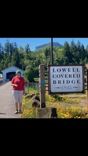
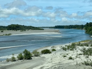
On the way to visit Linfield University, our next college on this whirlwind tour, we stayed the night in Westfir at a lovely, award-winning, campground, Casey’s Riverside RV Resort. They had an ice cream social that Mom and Allita visited while I did the laundry at their facilities. We all enjoyed lovely showers and fast-ish wifi. The Middle Fork Willamette River runs beside the campground (as does the Amtrak) and it is lovely to view. I can see why Good Sam likes this place. Just down the road from the campground is the Lowell covered bridge. We stopped there the next morning and checked out the history of the Willamette river, flooding and dams in the area, and bridges, such as Lowell. Then we zipped through Eugene and north to McMinnville.
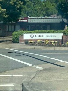
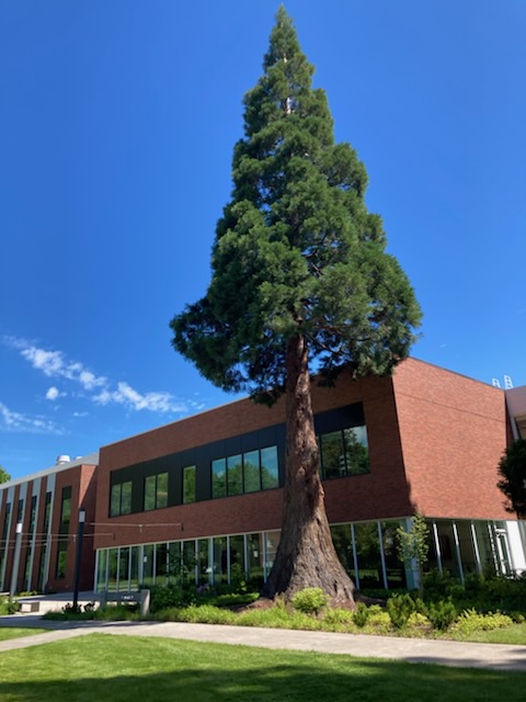
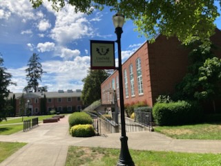
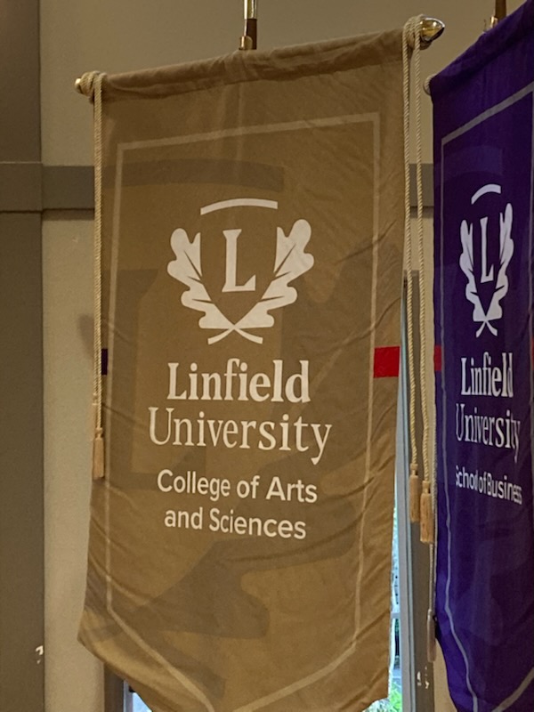
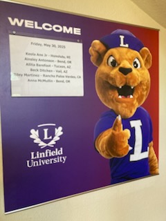
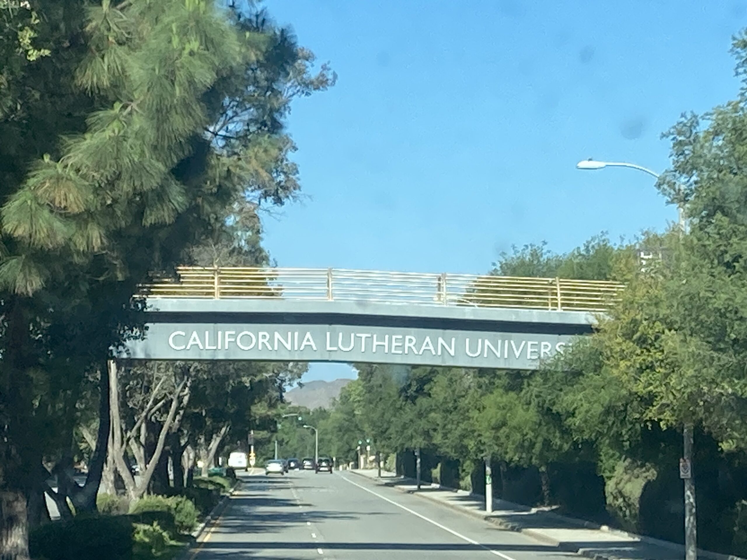
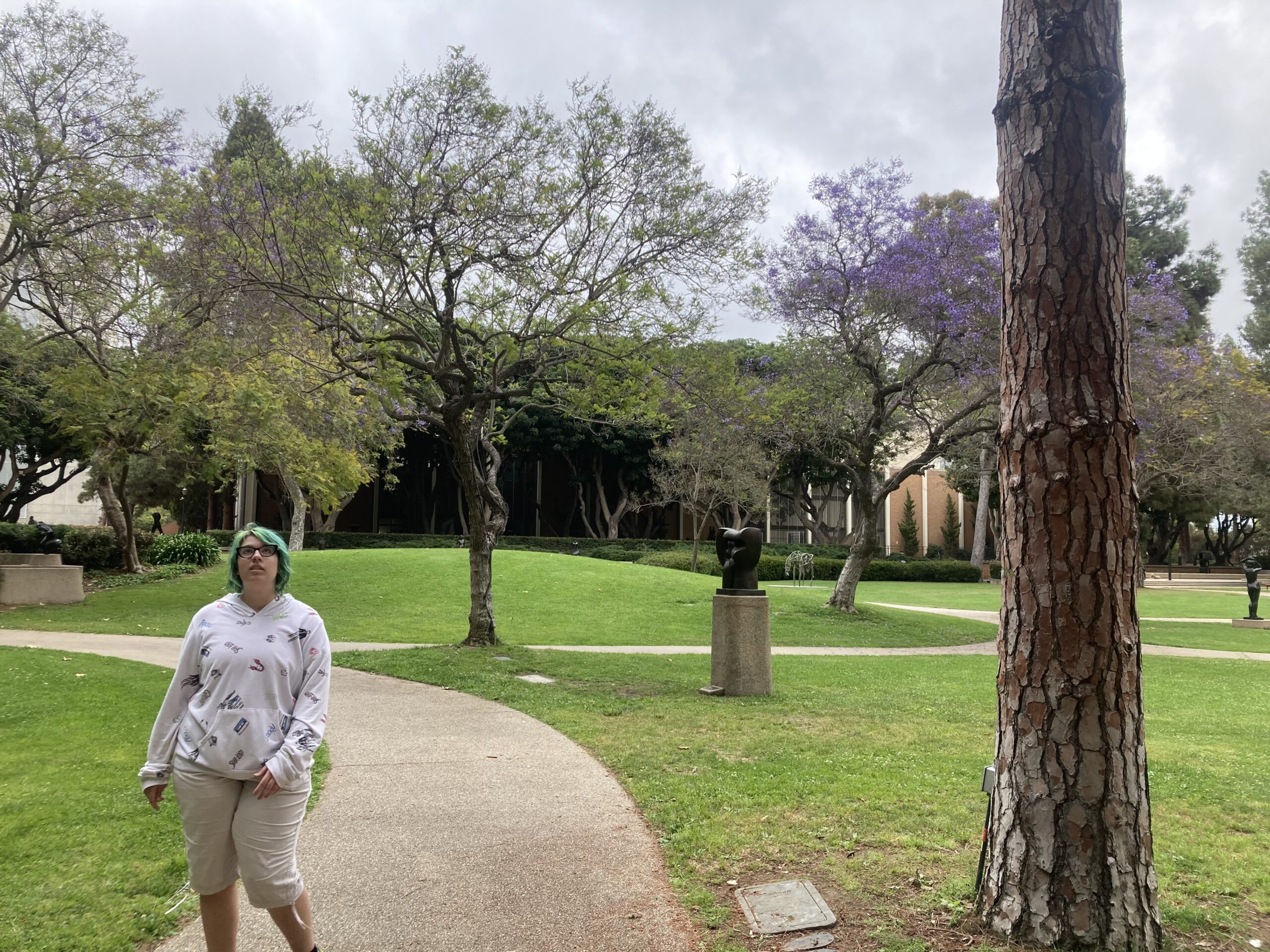
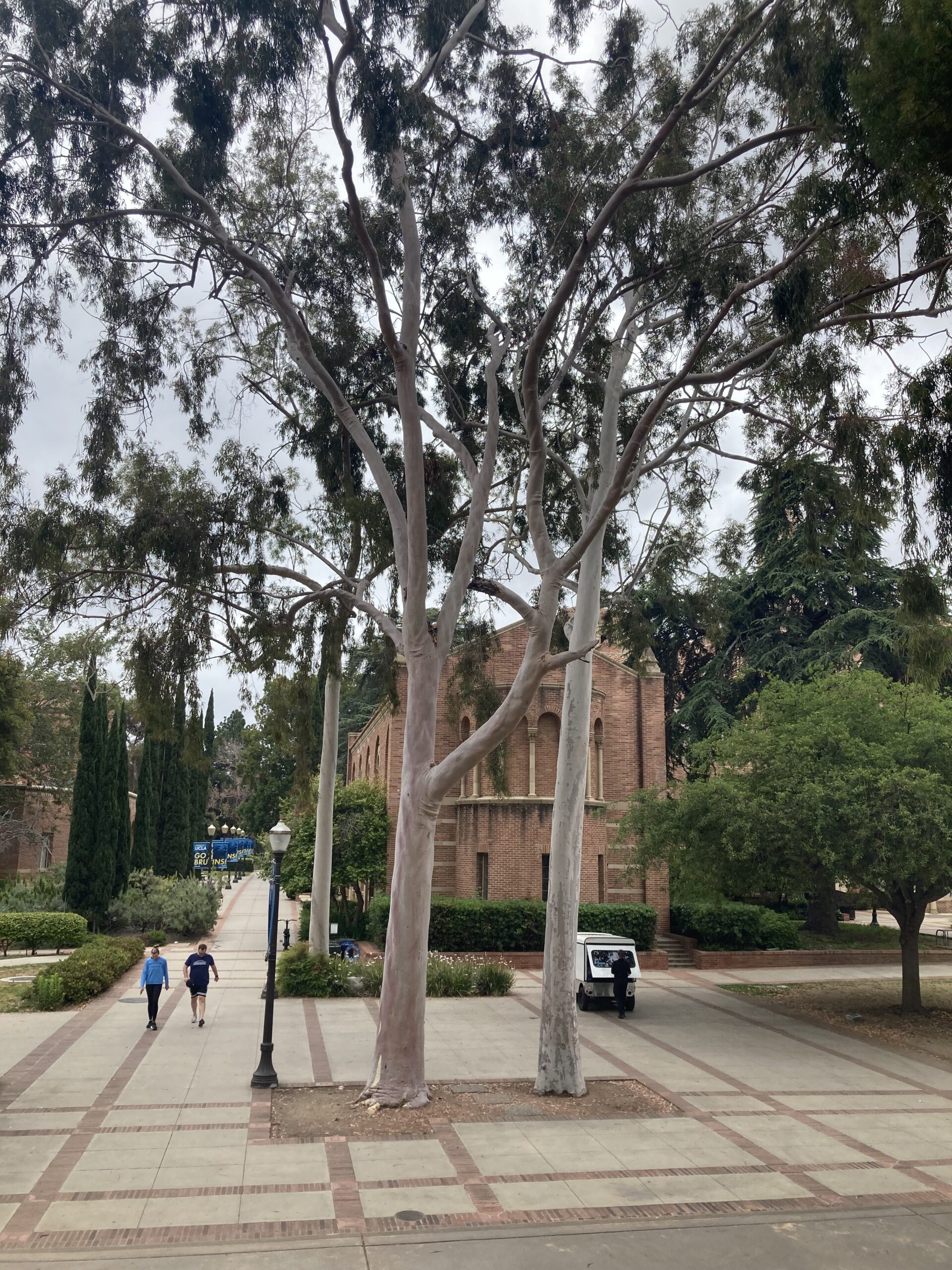
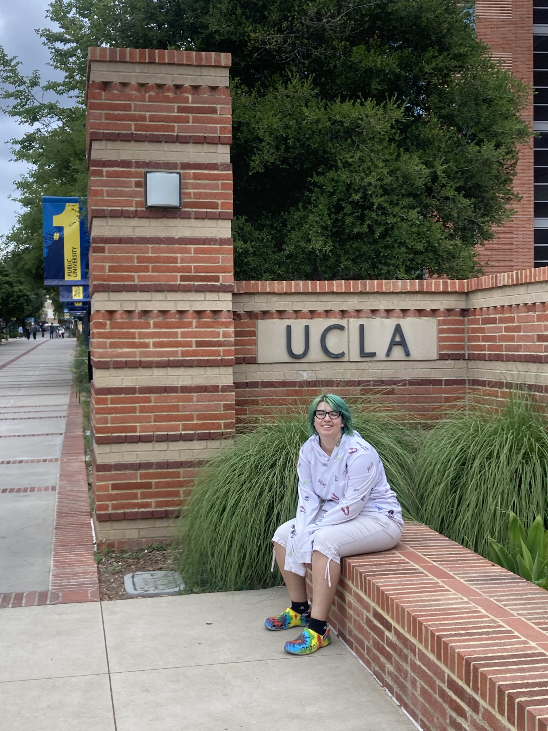
Ok, so this is the point where I admit that I expected McMinnville to be a small town and Linfield to be a small, liberal arts college. Ha! Not so much. Yes, Linfield University is a small, liberal arts college (by population) but the campus sprawls across nearly 200 acres of property loaded with massive trees and impressive brick buildings that have clearly been in place since the 1850s. 1,400 students attend Linfield and they offer 50 majors and 45 minors. The school also boasts a NCAA DIII athletic program (23 teams) and claims to be the #1 Liberal Arts college in Oregon. Allita and I took a walking tour of campus from 3:00-4:30pm led by someone from the admissions administration and we were both really impressed. They offer educational opportunities in 14 countries at 25 different sites. Furthermore, every January (except freshman year), they allow students to travel abroad with university-organized groups as part of an international education program called “JanTerm” where you travel to some foreign country, take a compressed course for credit, and work under the guidance of a professor. Naturally, we thought that was amazing and absolutely unique in terms of the schools we have visited.
This morning, Allita expressed frustration that she keeps visiting college campuses she really likes, which means making the final decision will be difficult. Mom and I both laughed. All-in-all, we are enjoying ourselves and the trip has been worth any hardships encountered. Tomorrow, we head to Portland to stay with friends who winter in Tucson, and then, we head north to Washington!
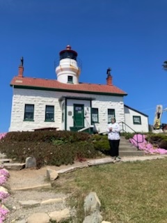
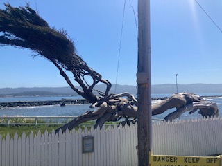
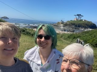
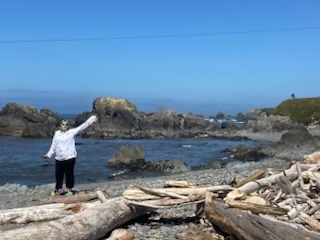
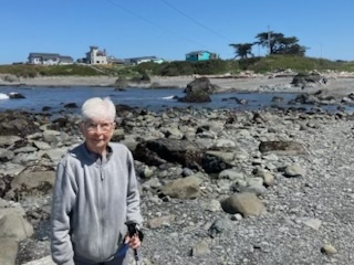
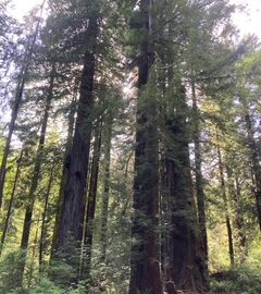
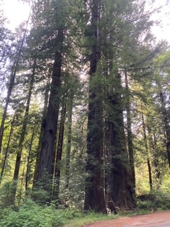
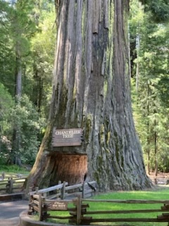
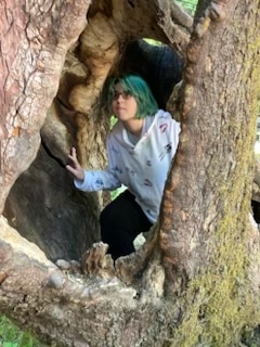
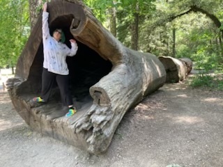
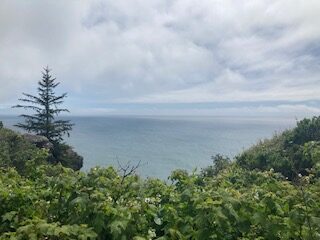
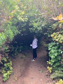
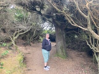
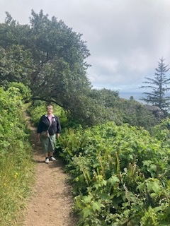
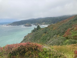
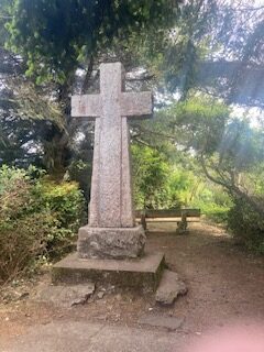
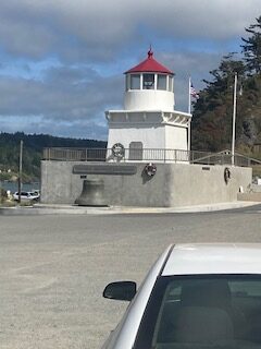
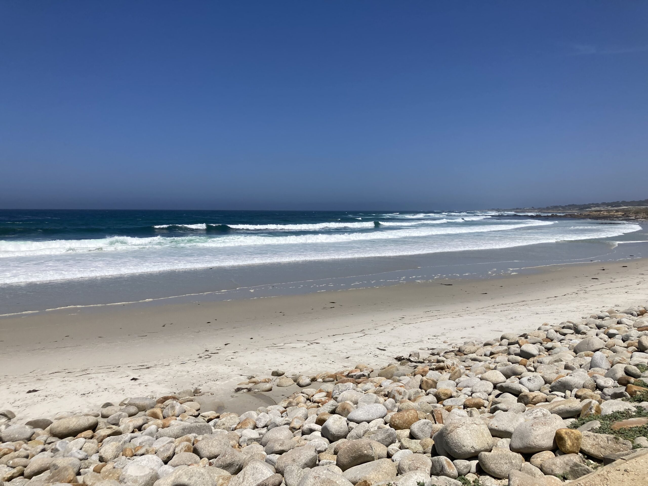
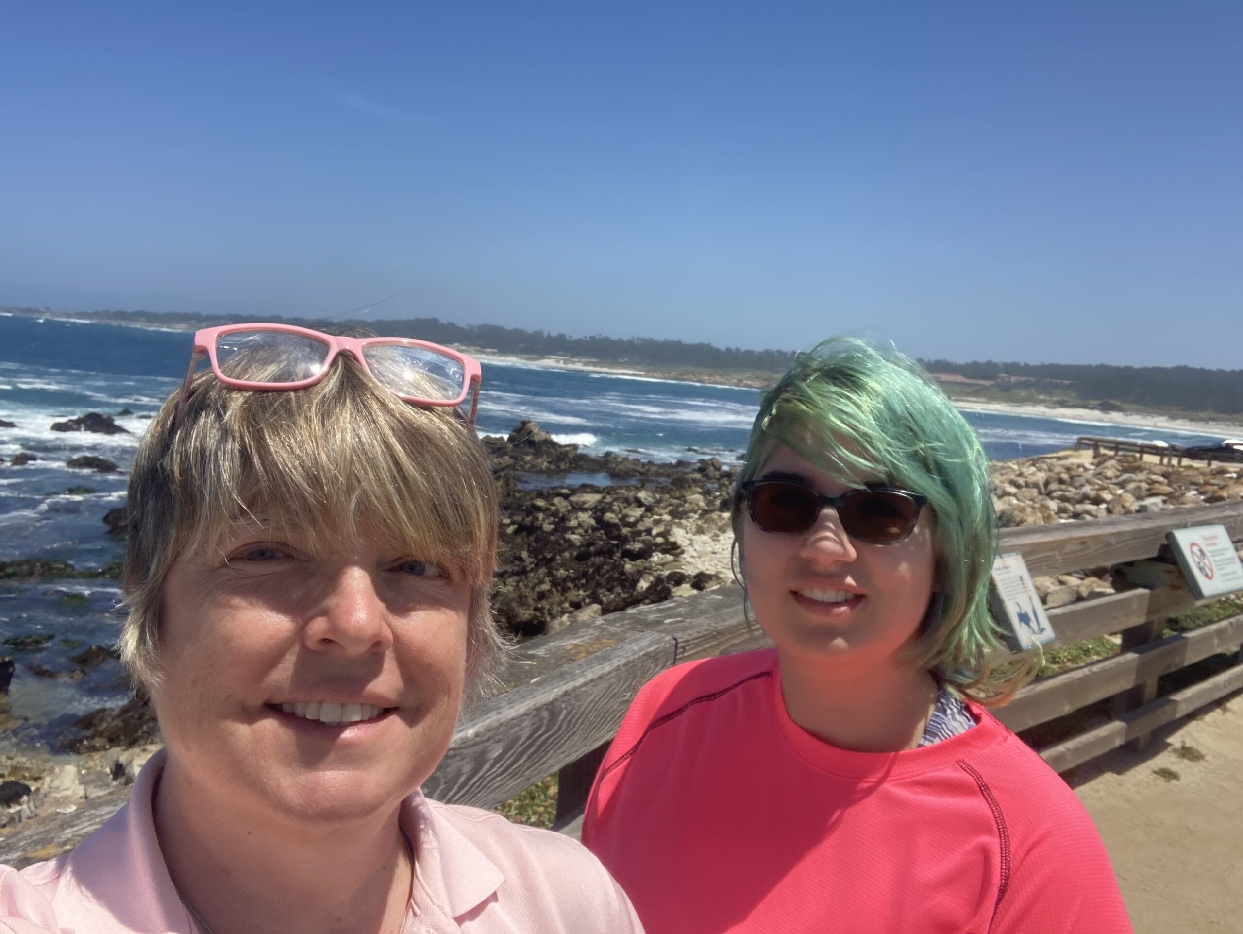
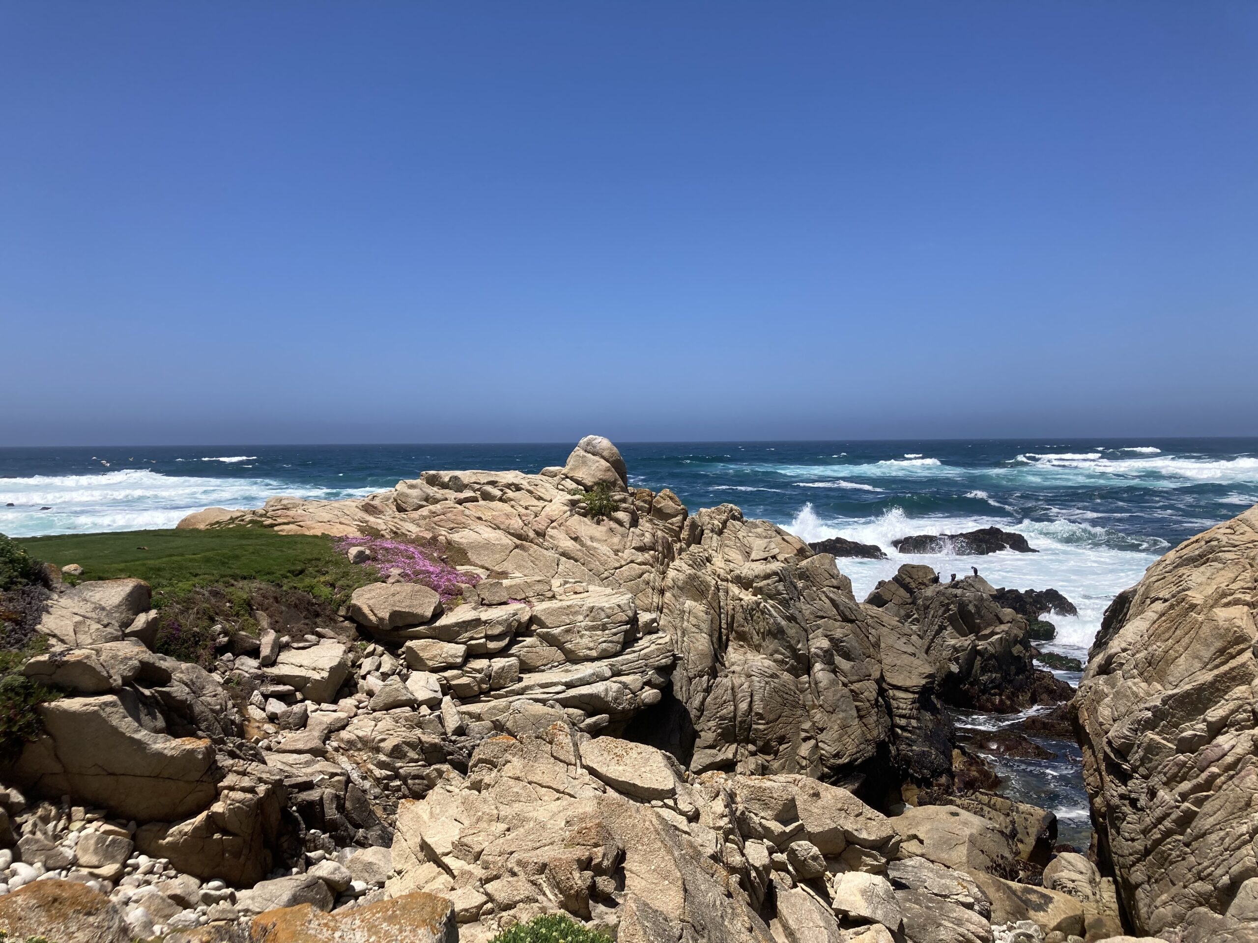
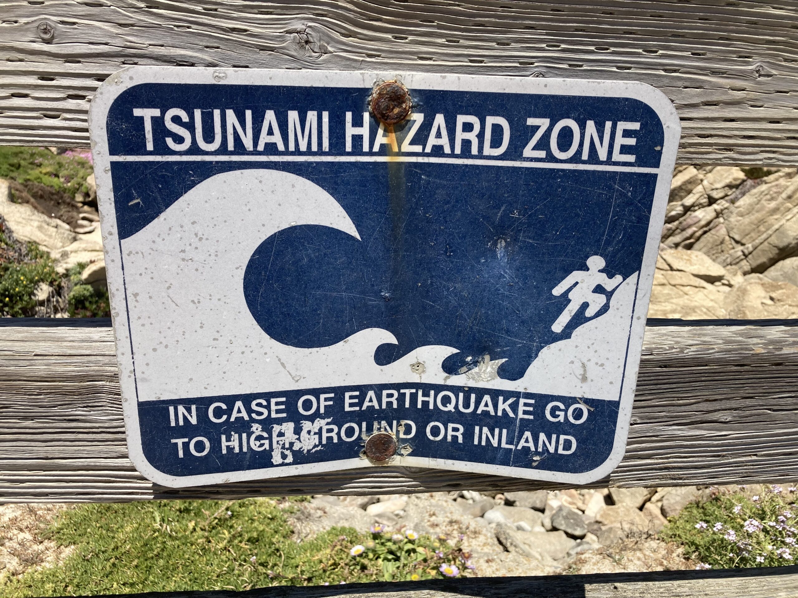
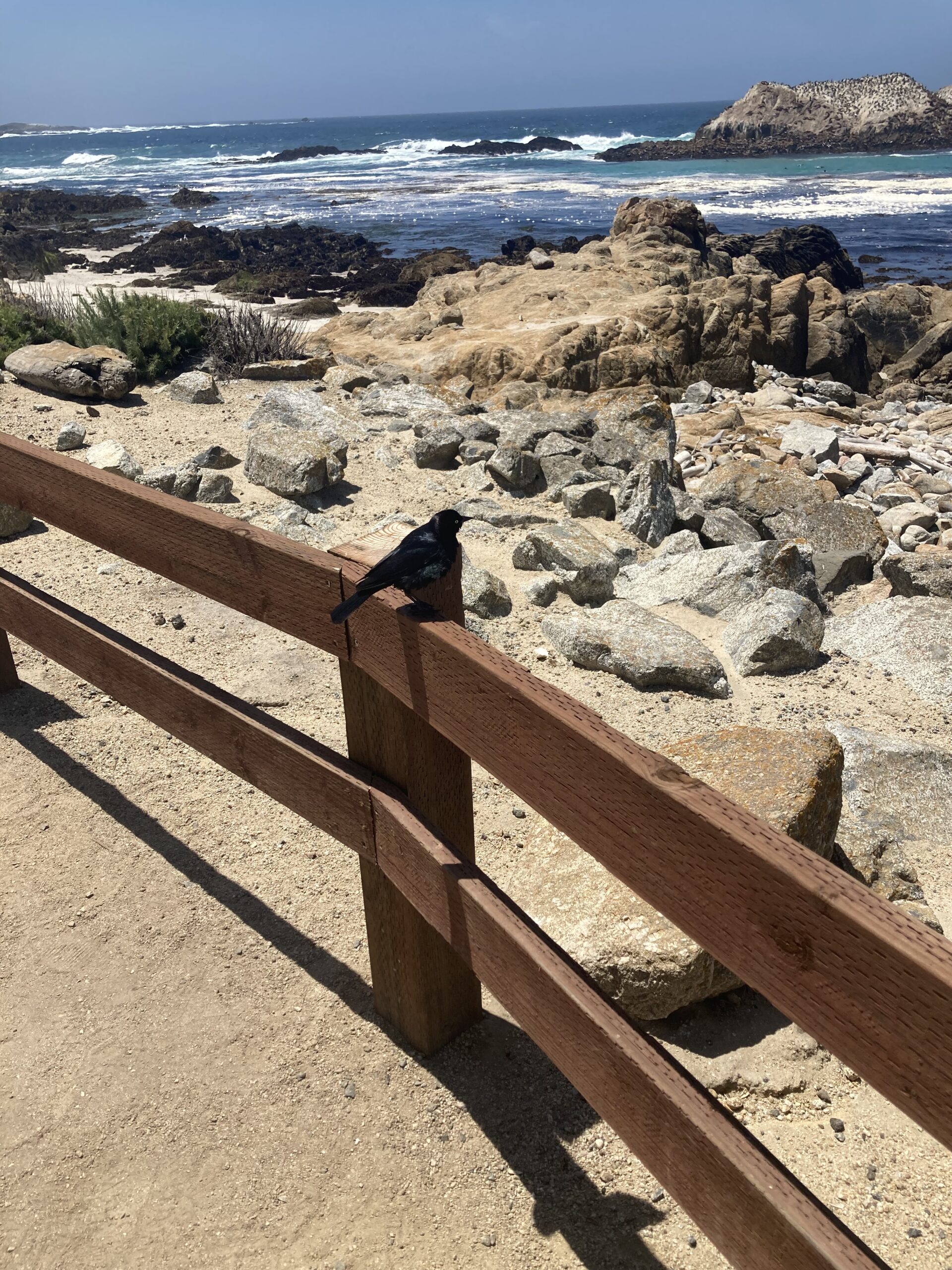
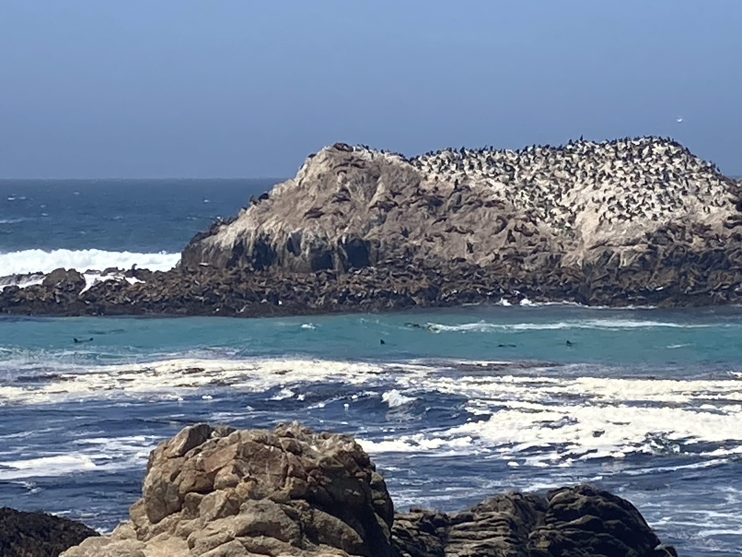
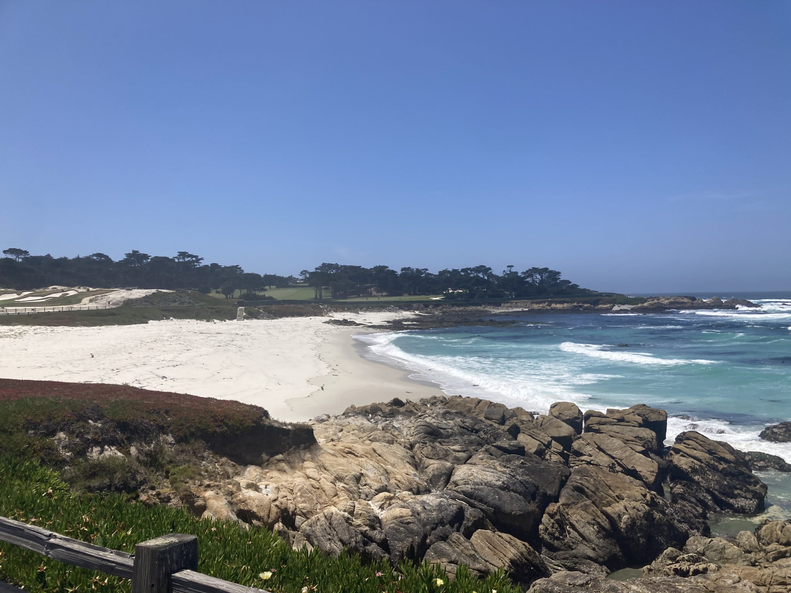
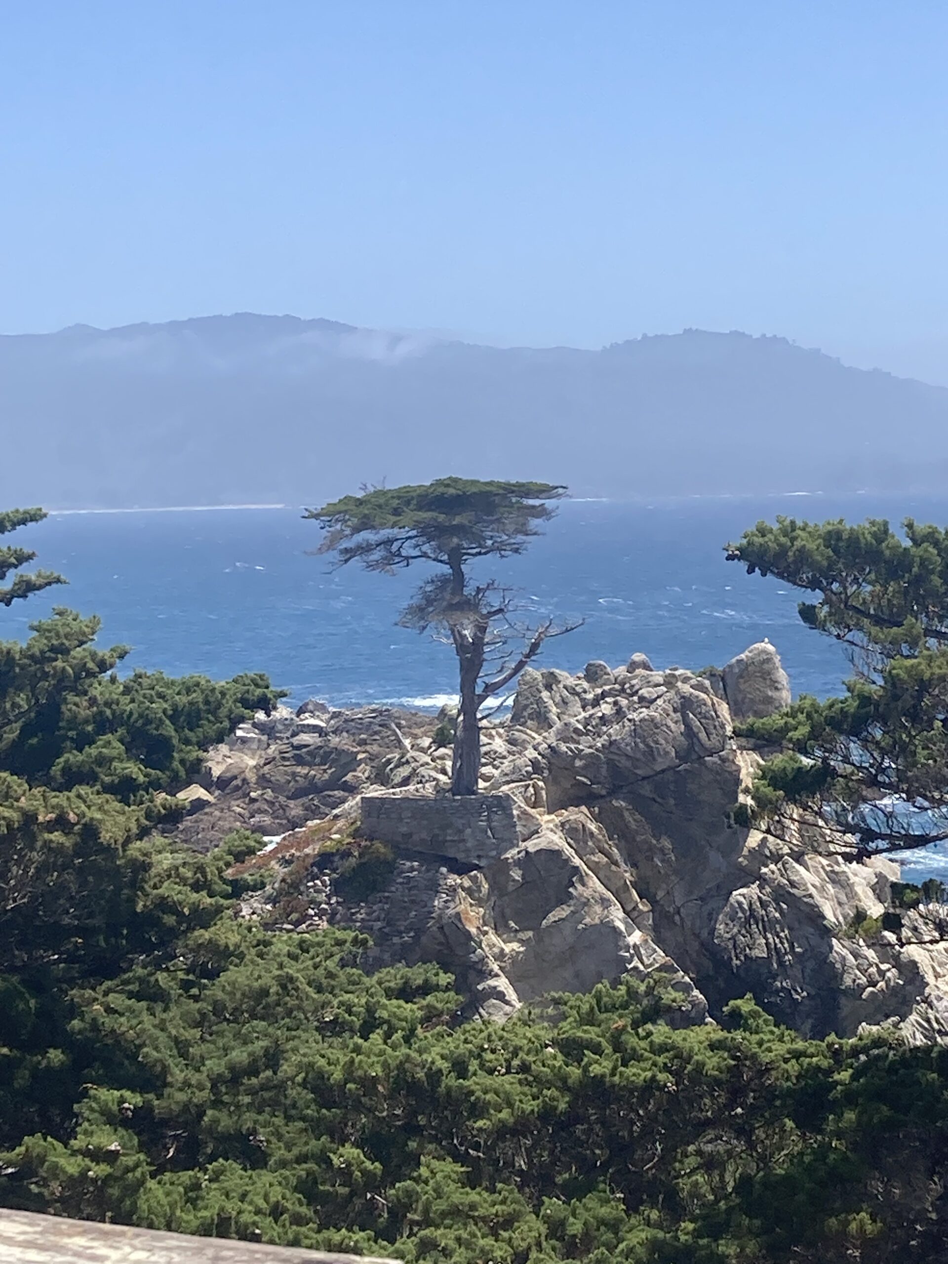
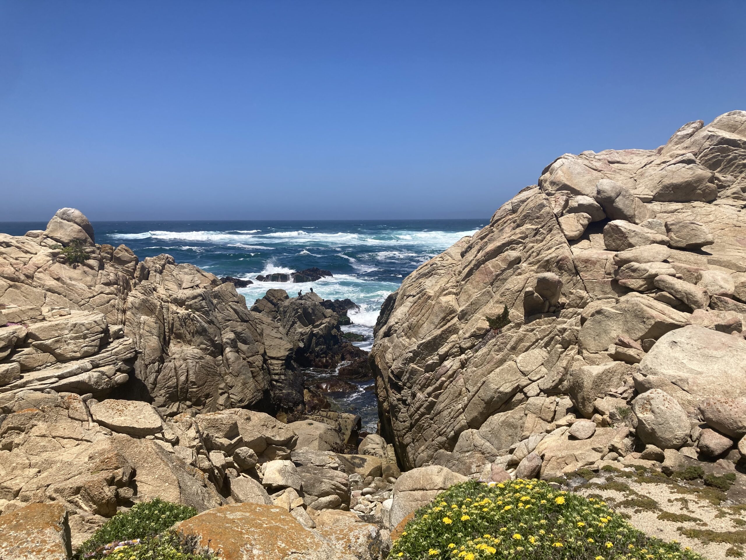
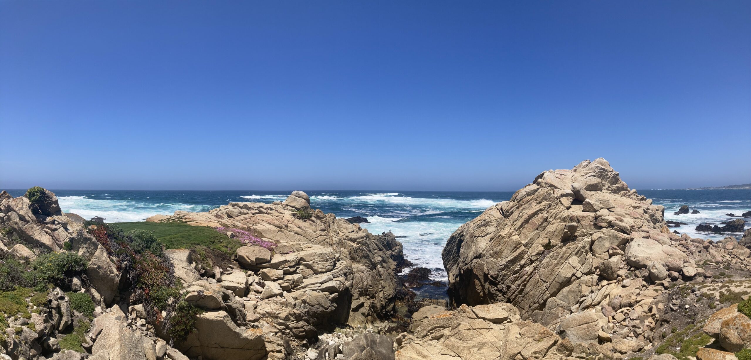
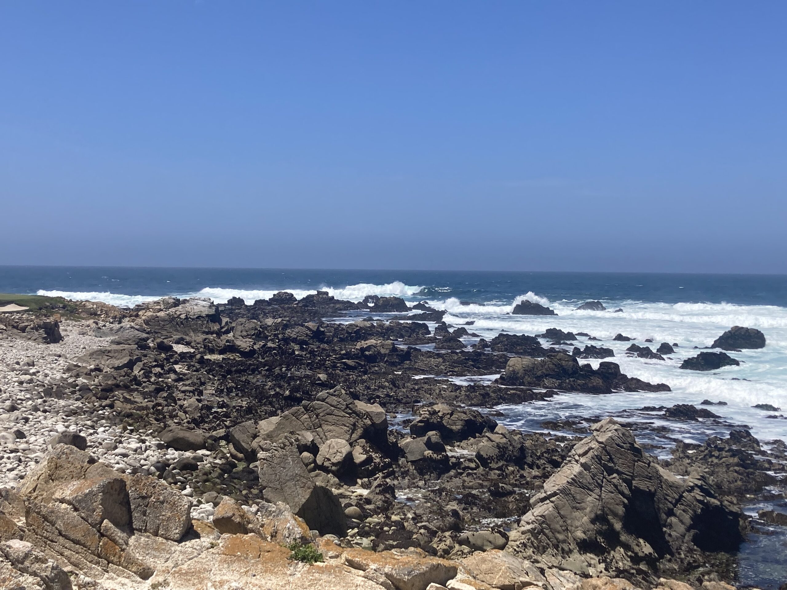
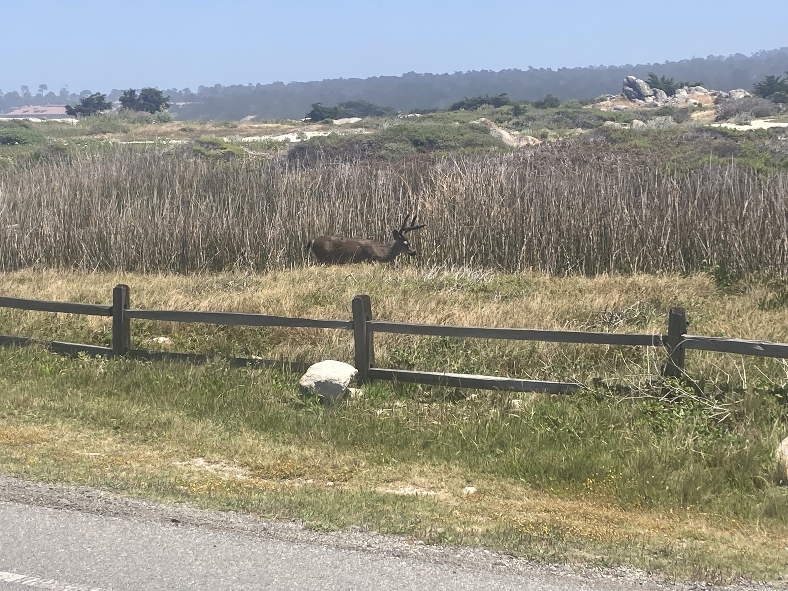
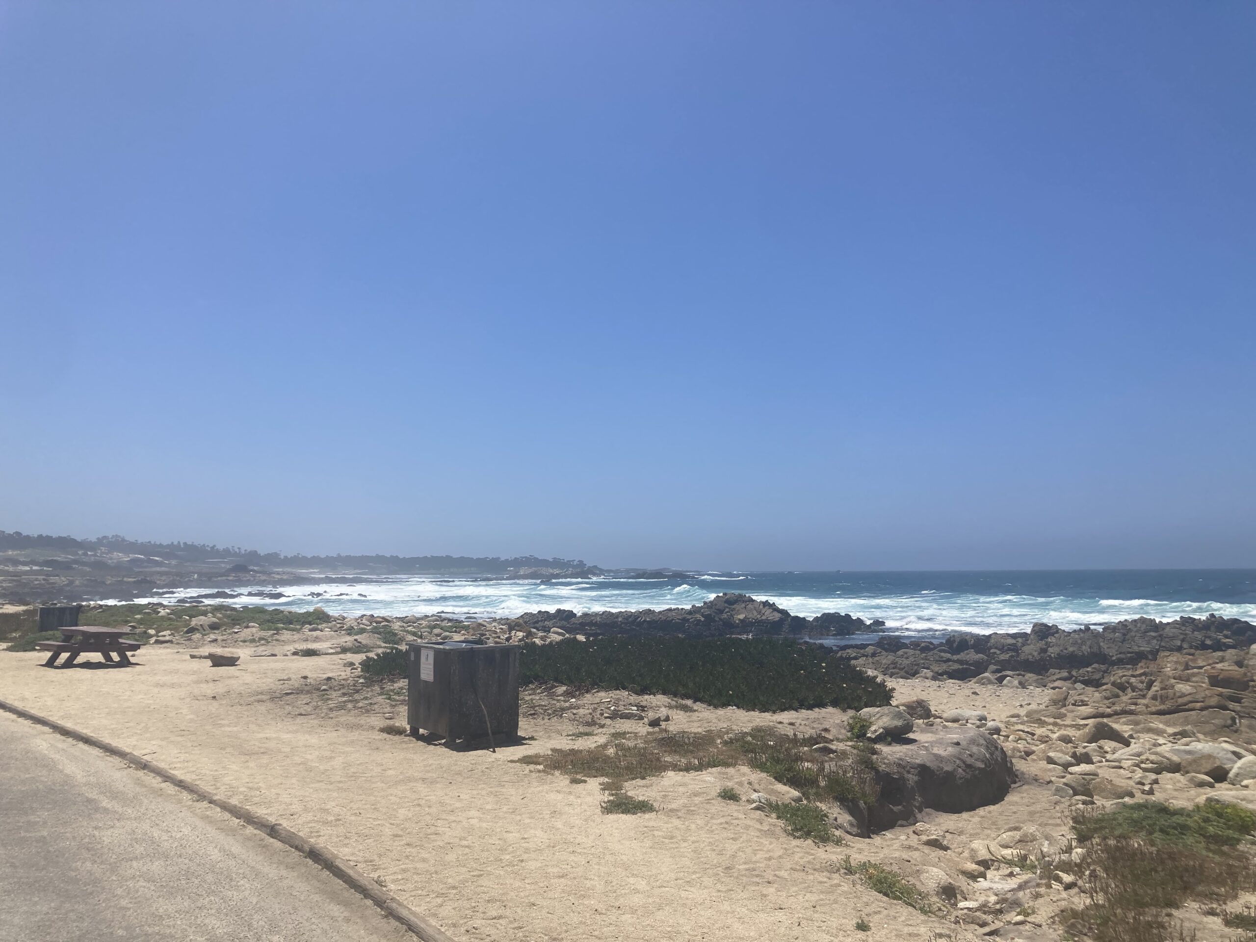
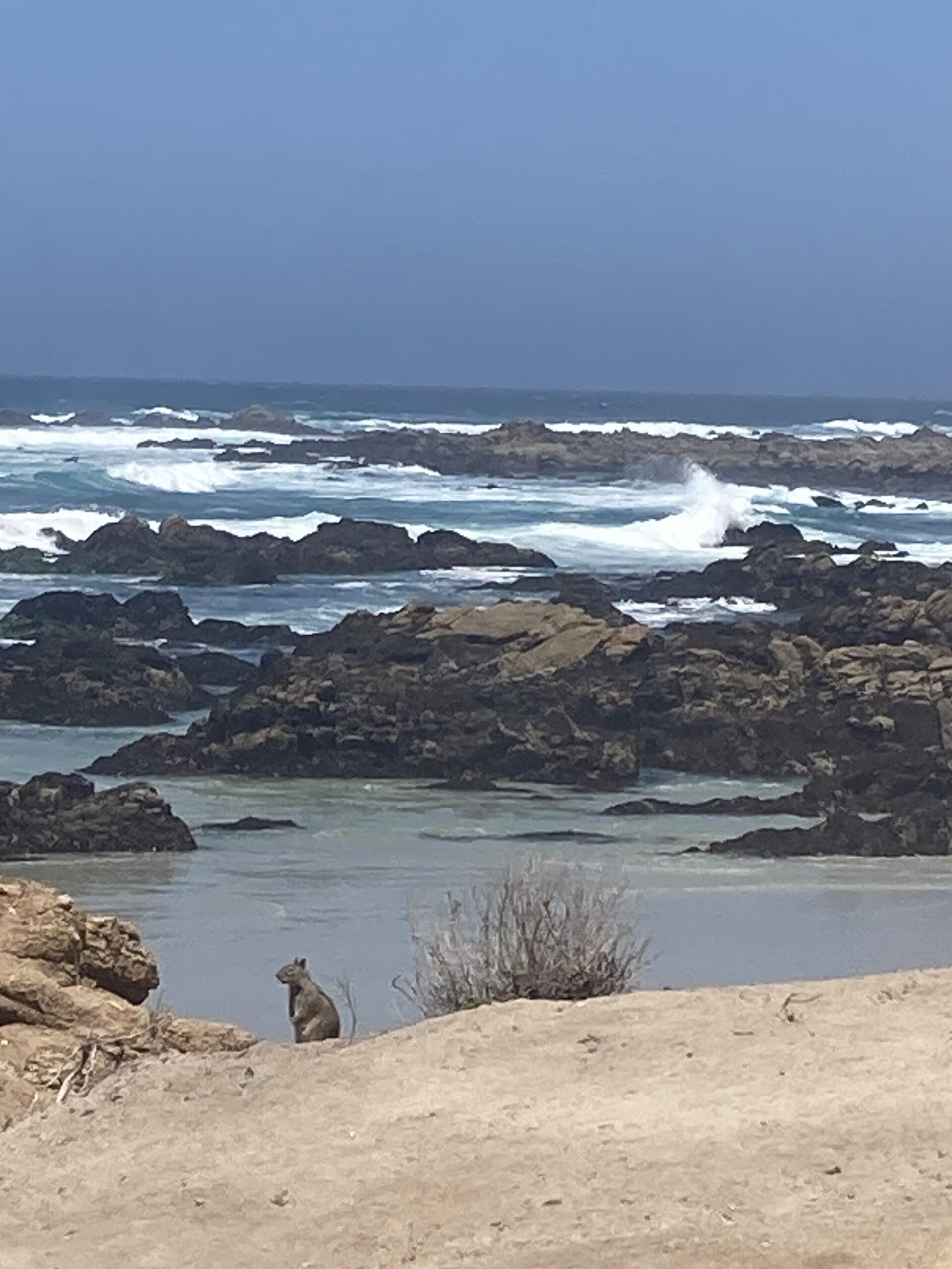
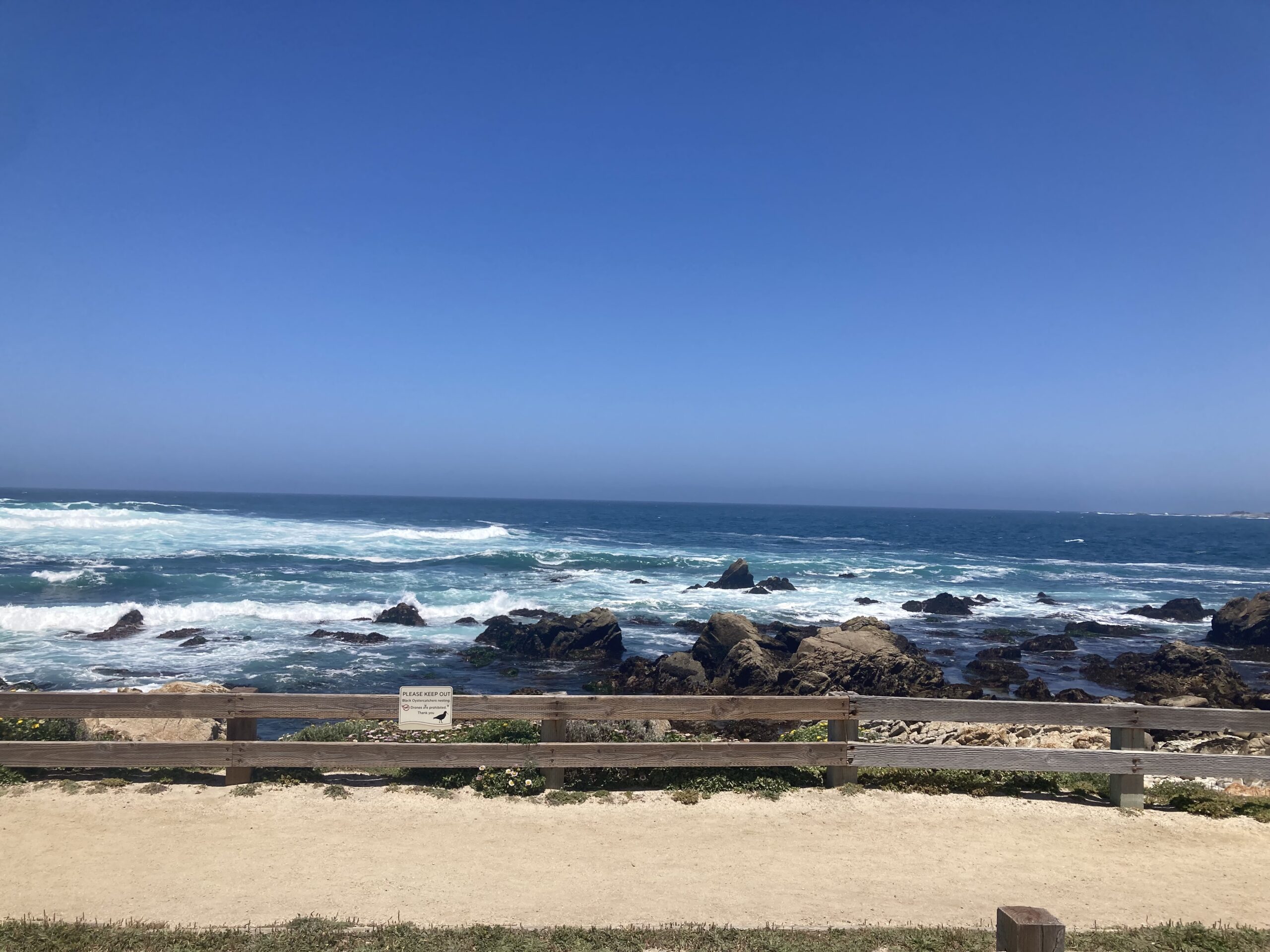
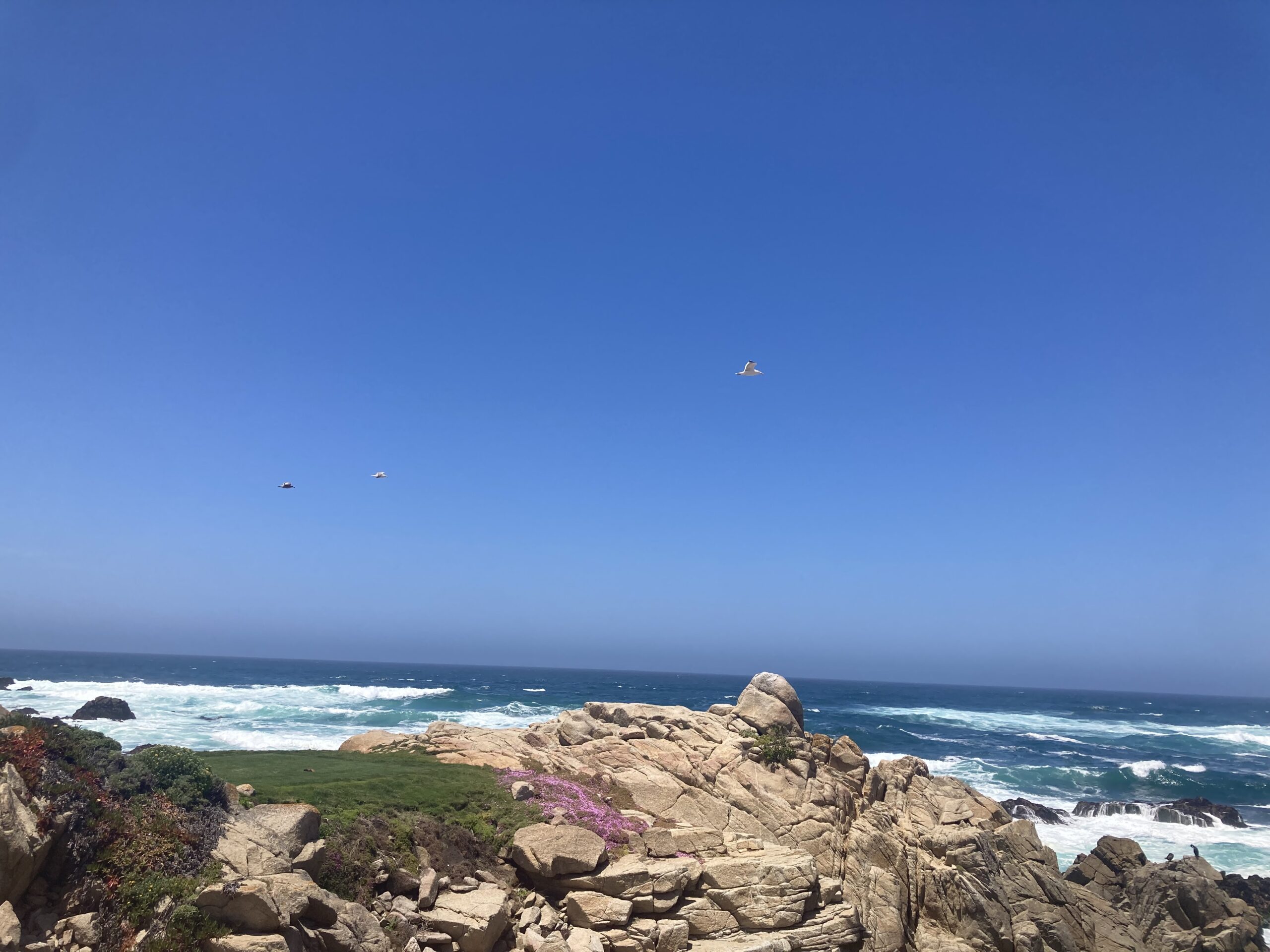
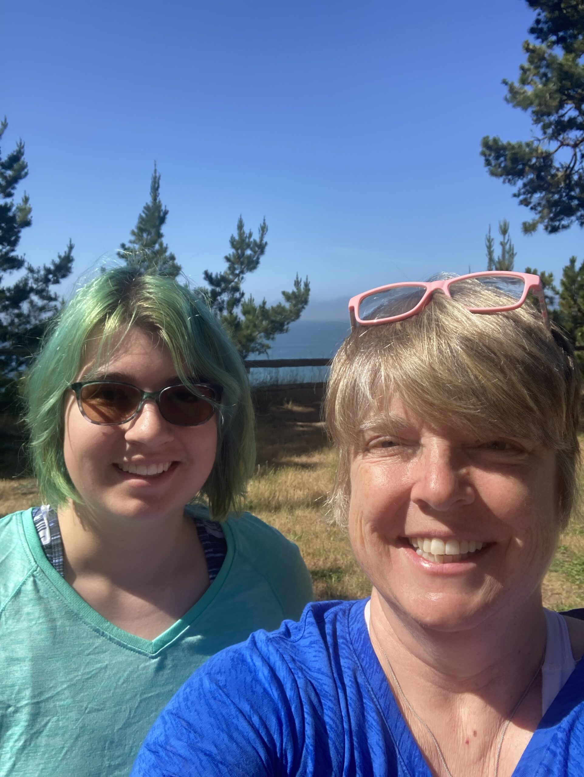
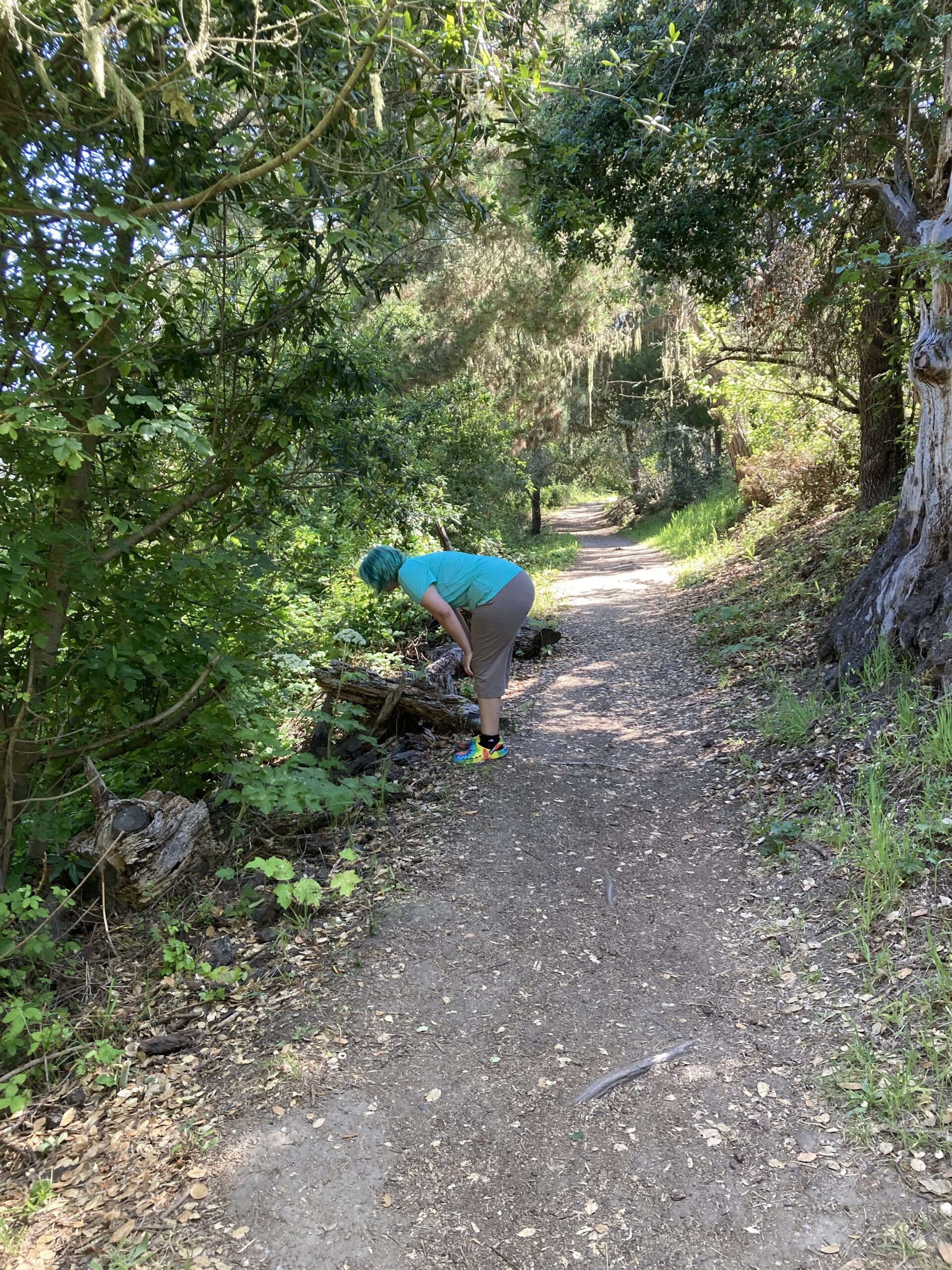
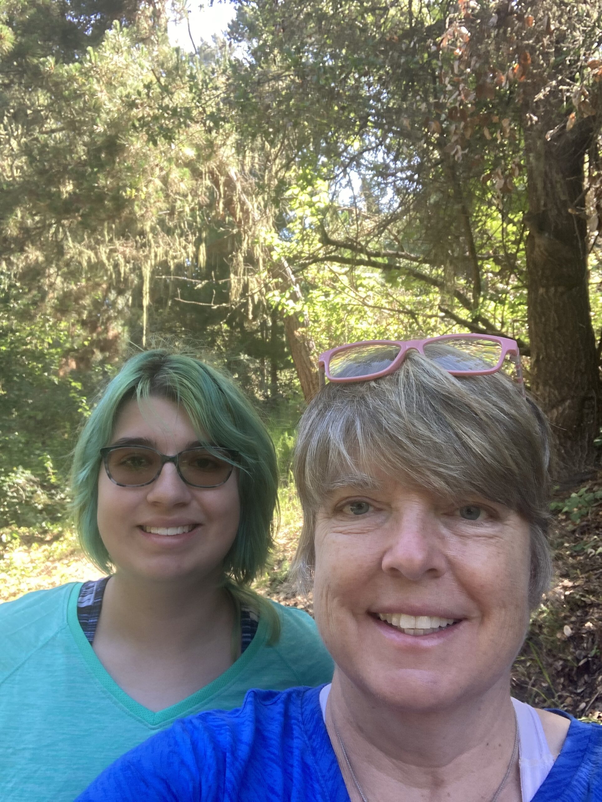
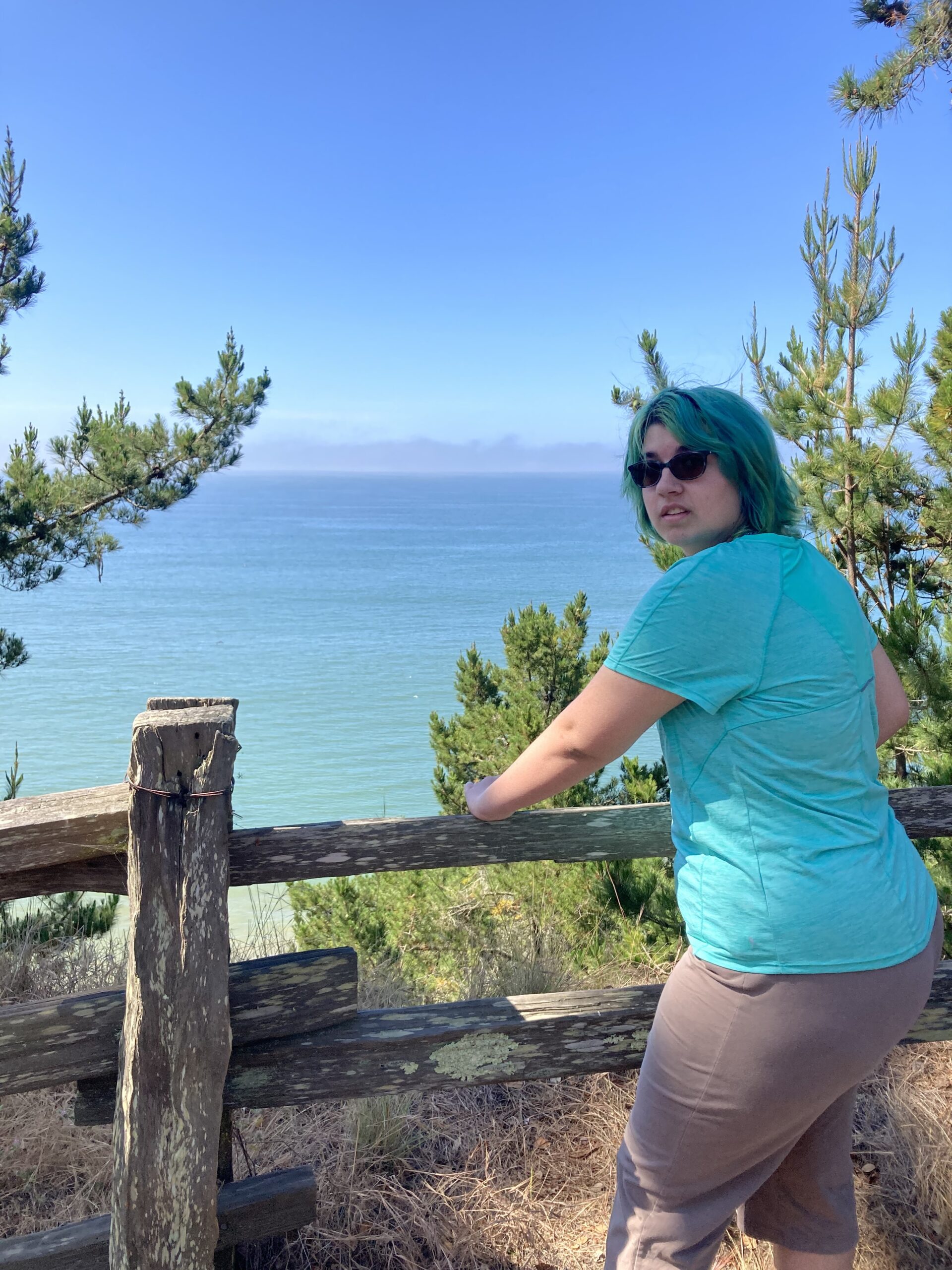
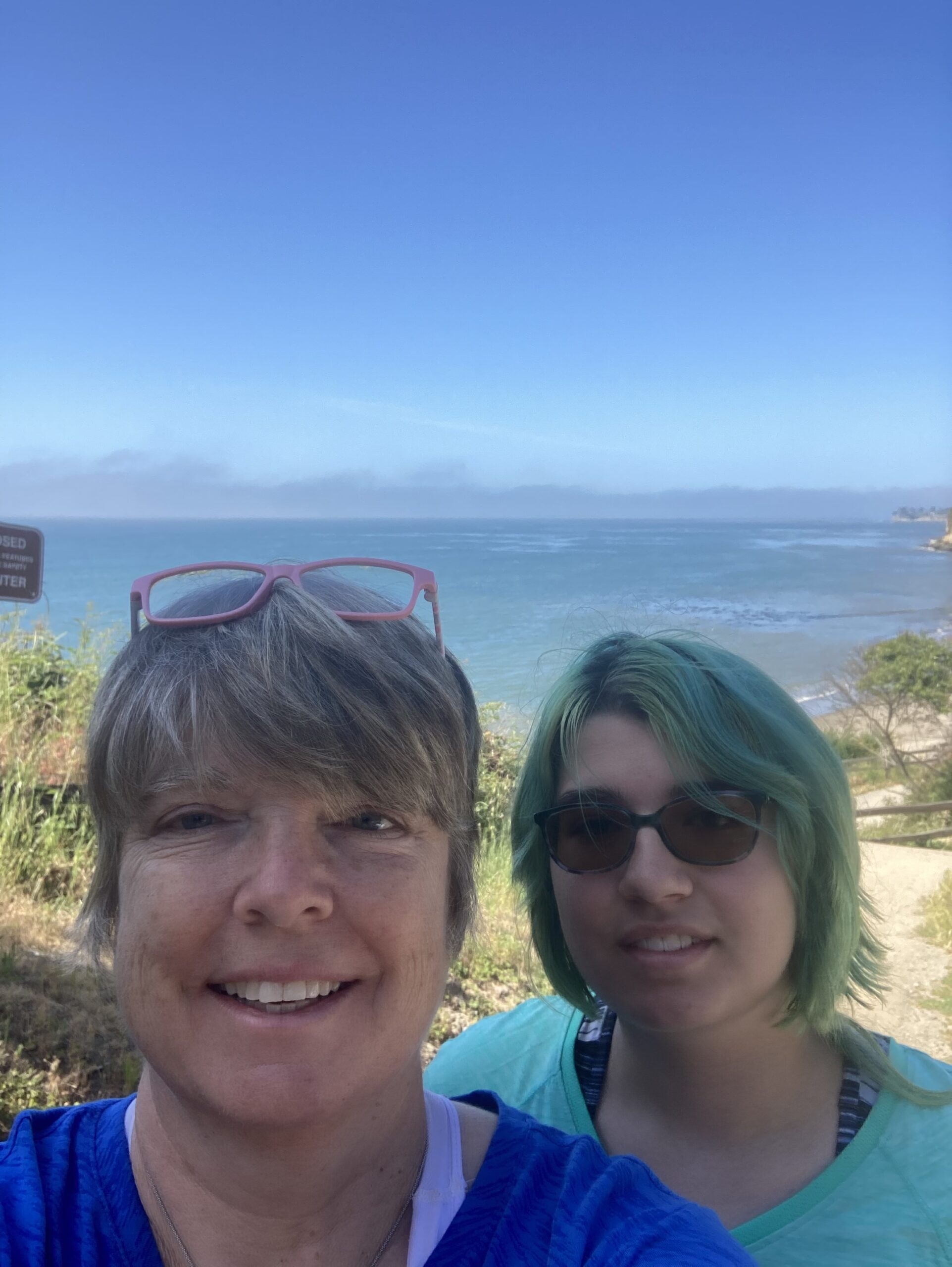
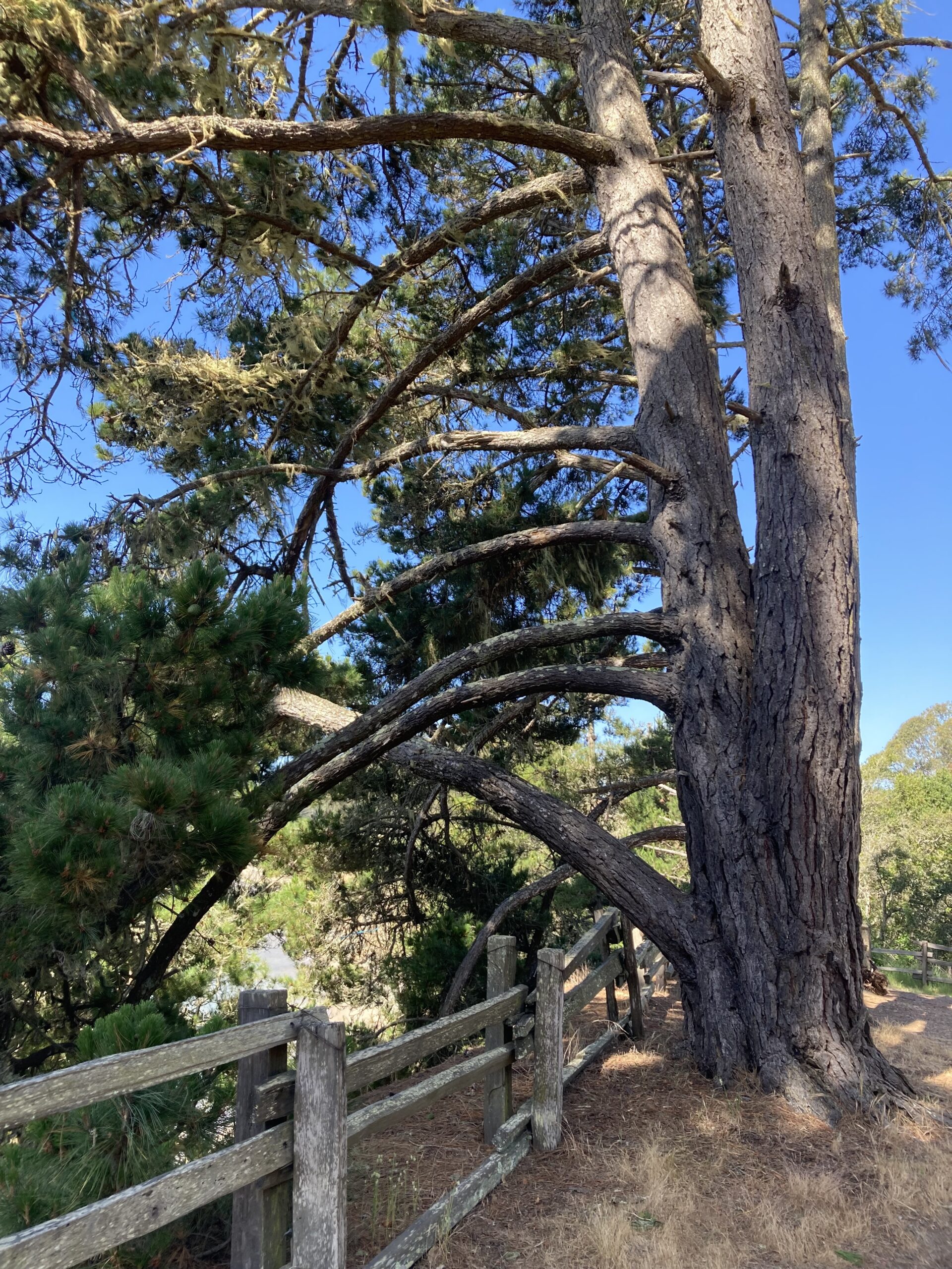
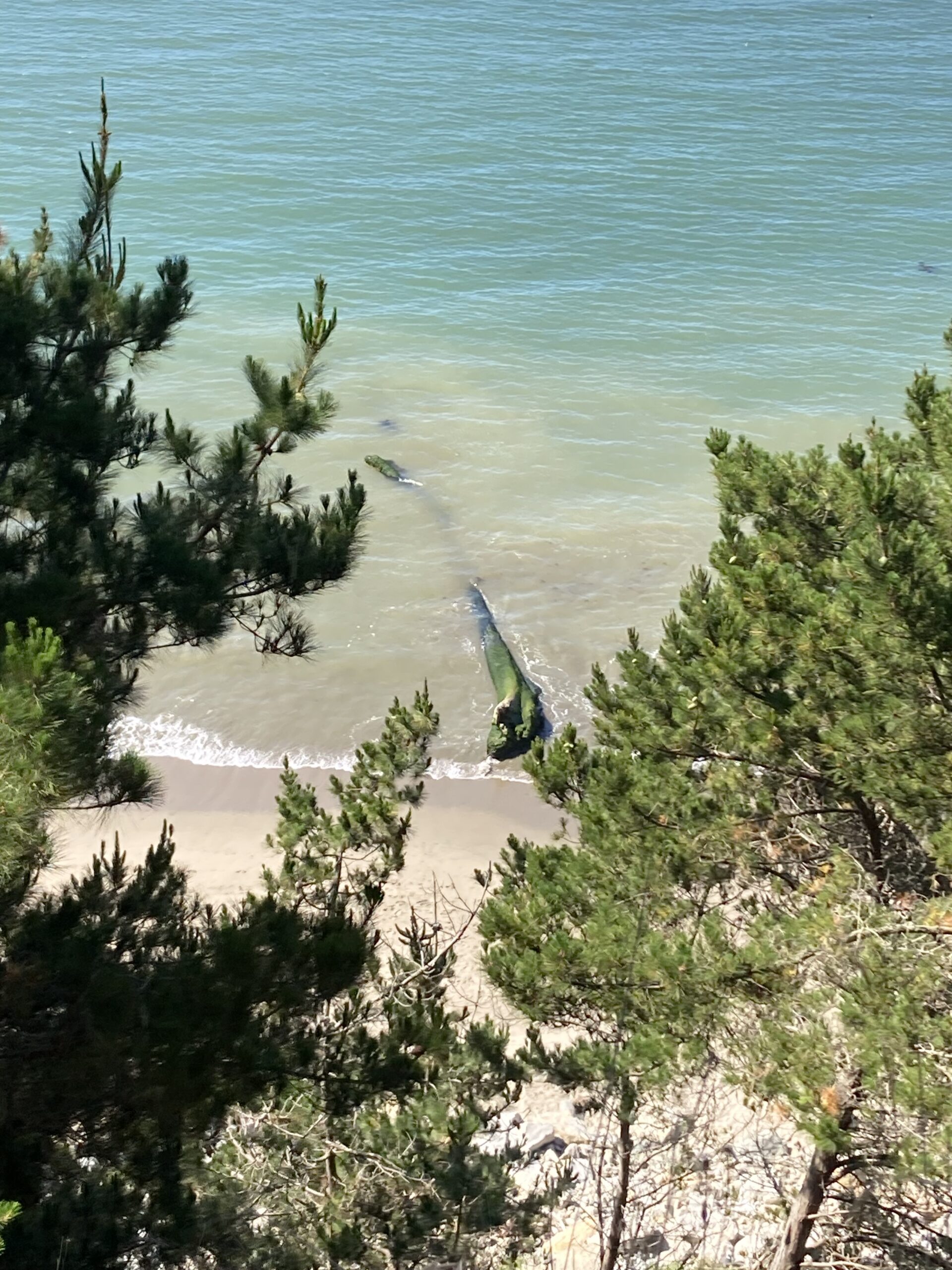
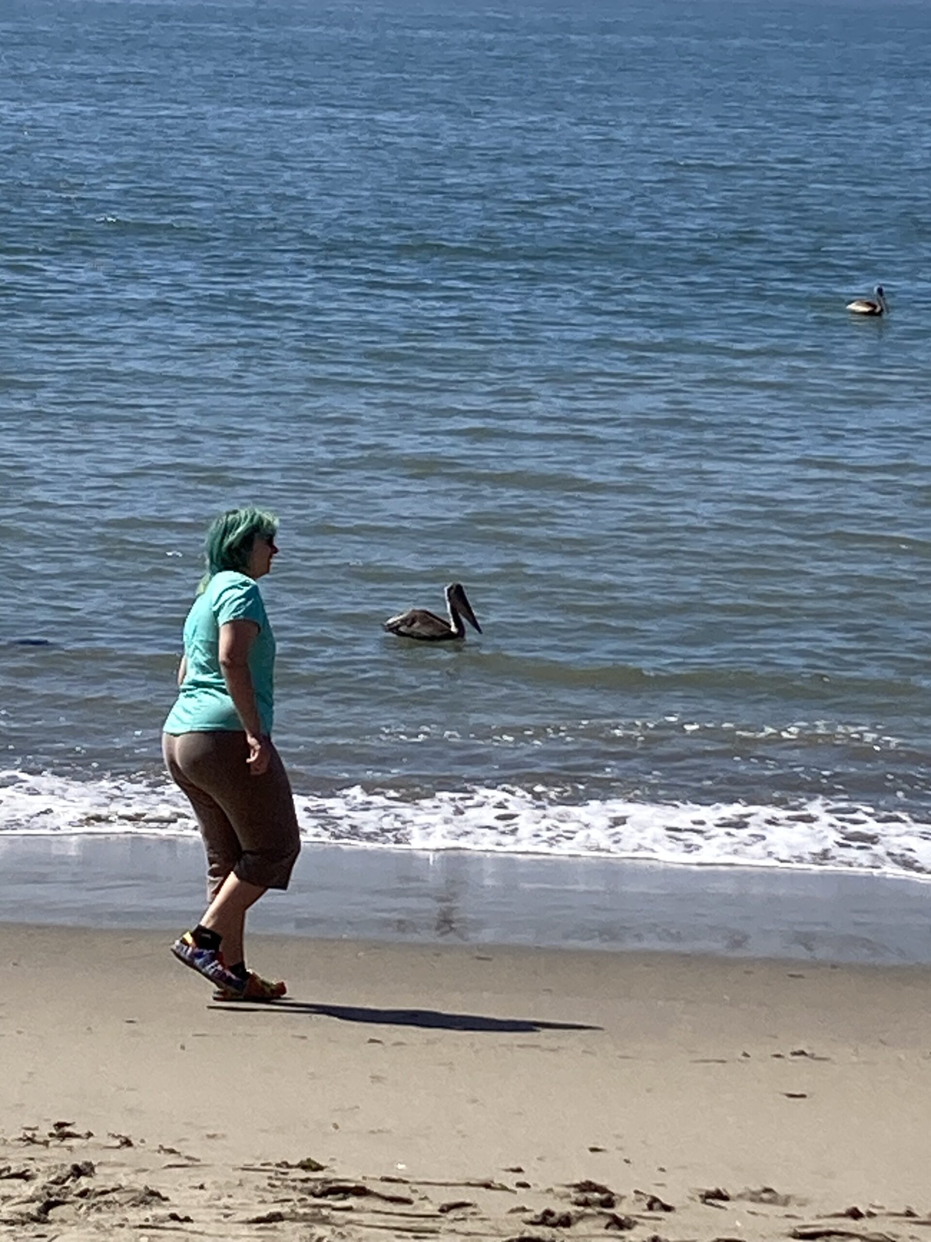
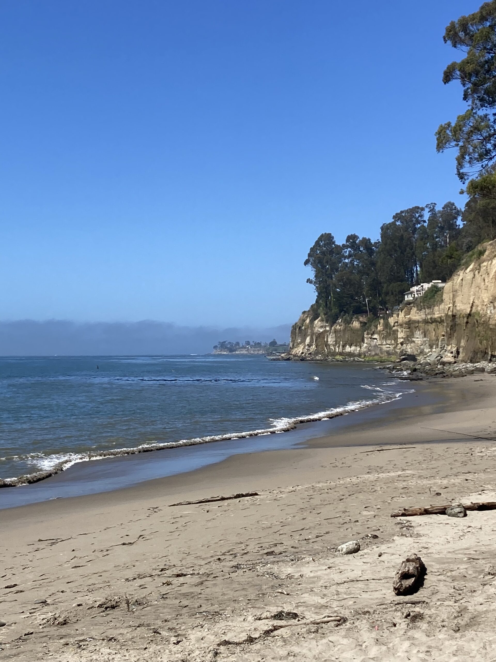
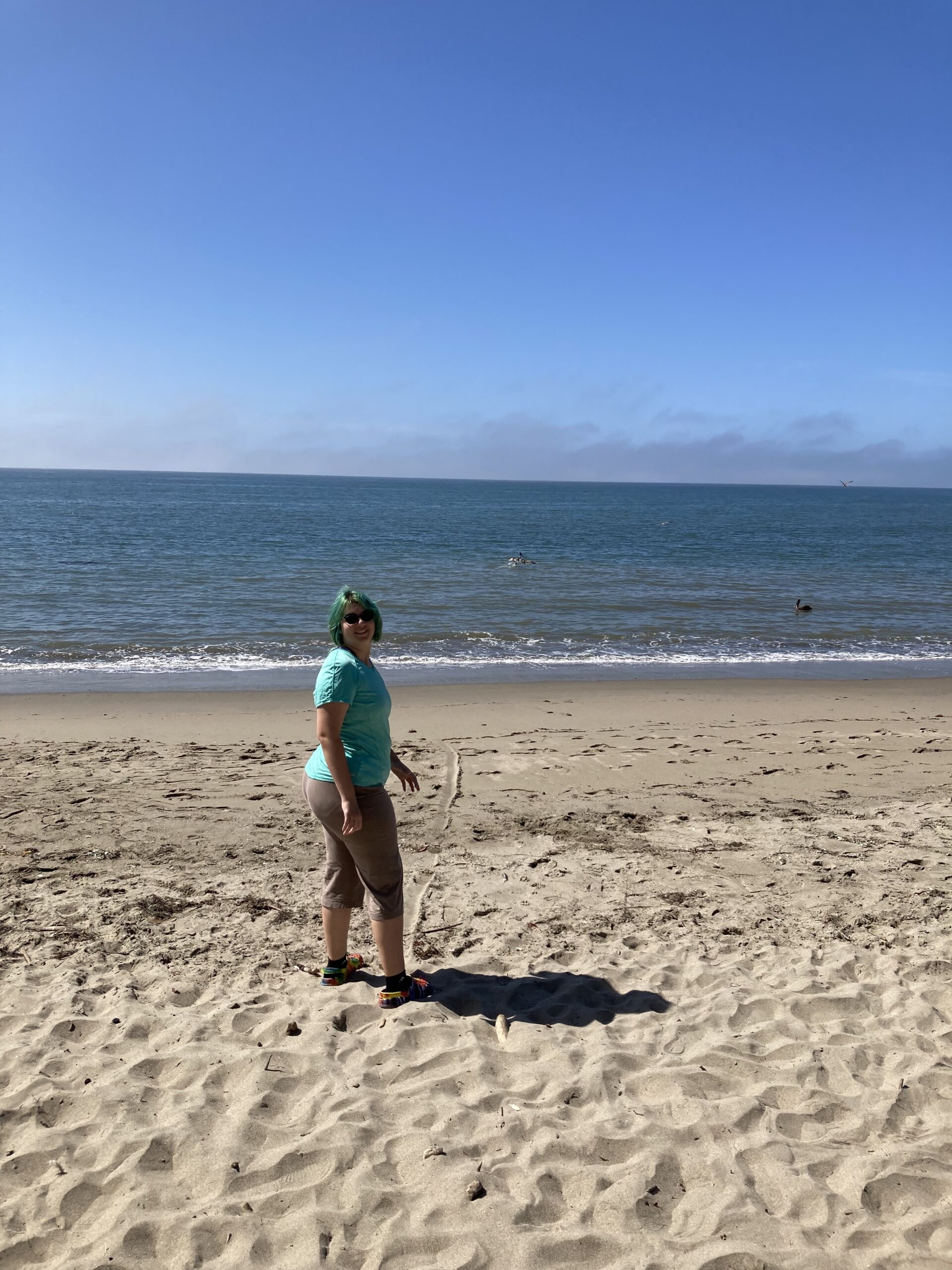
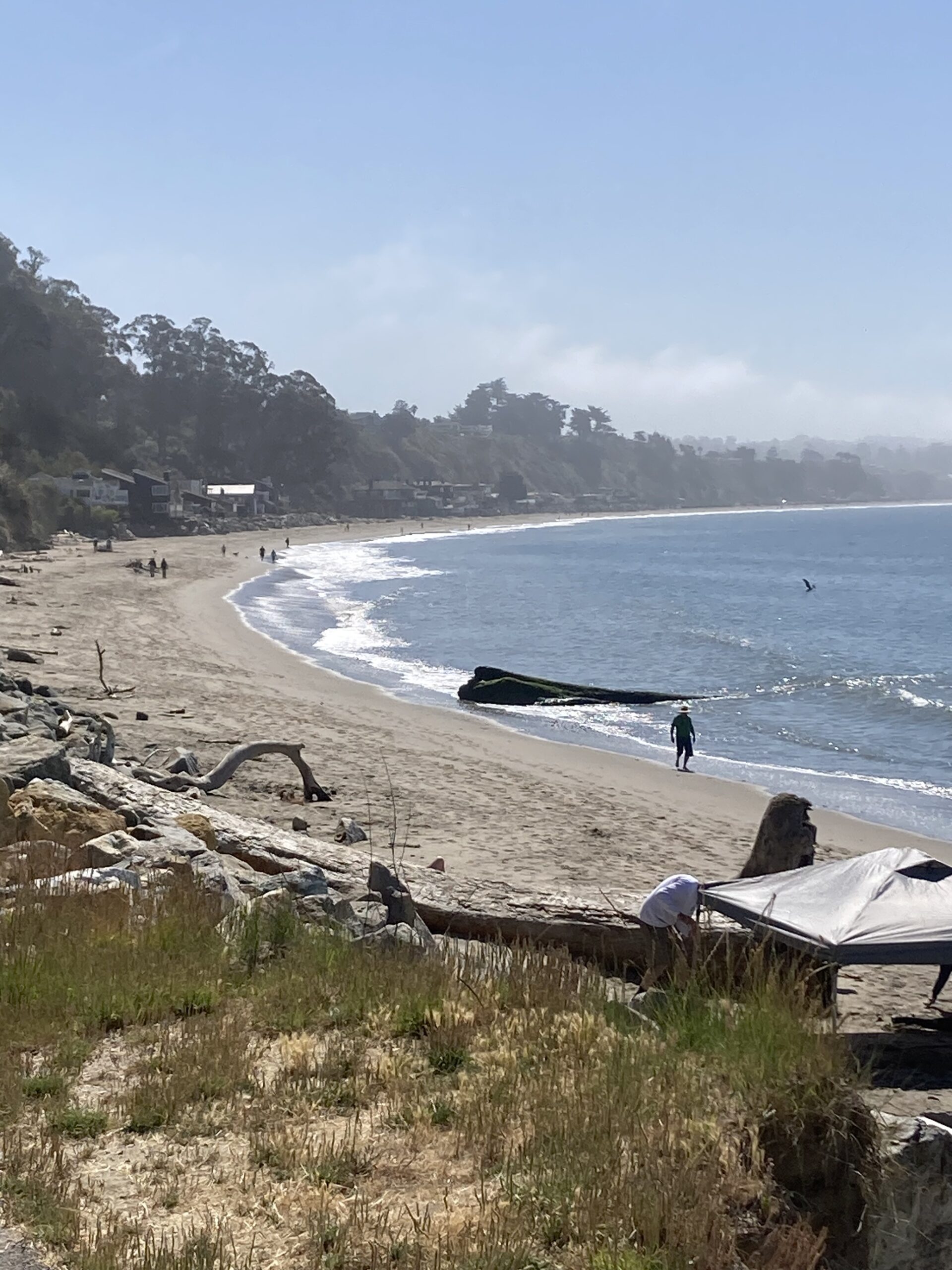
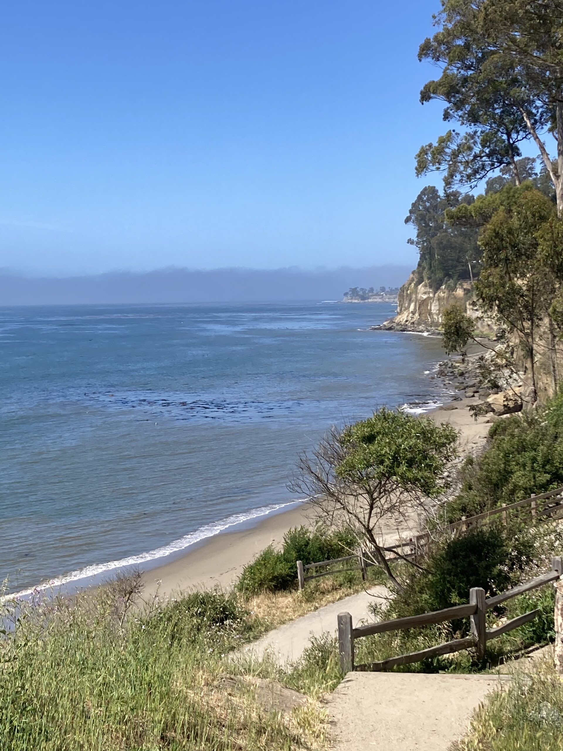
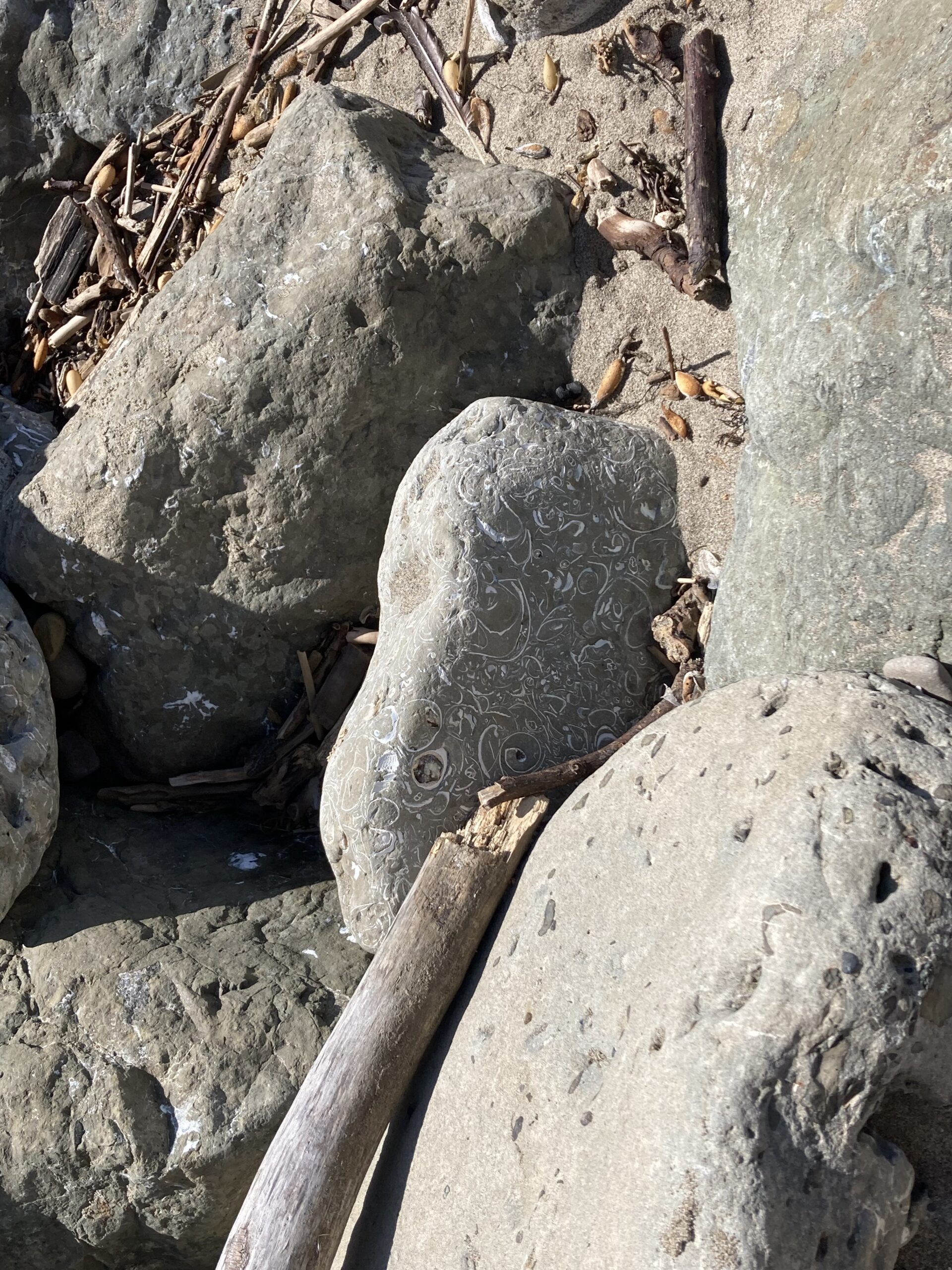
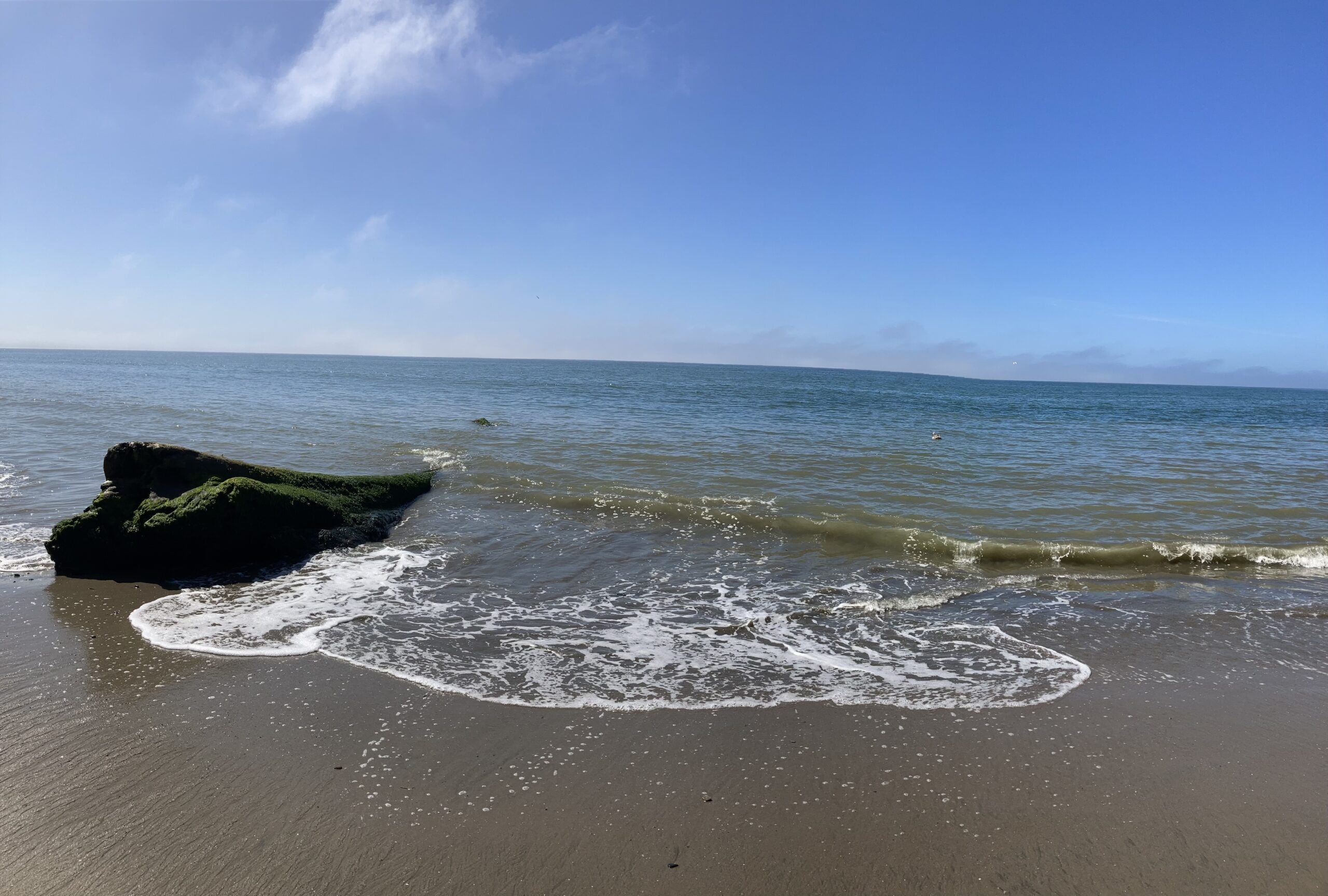
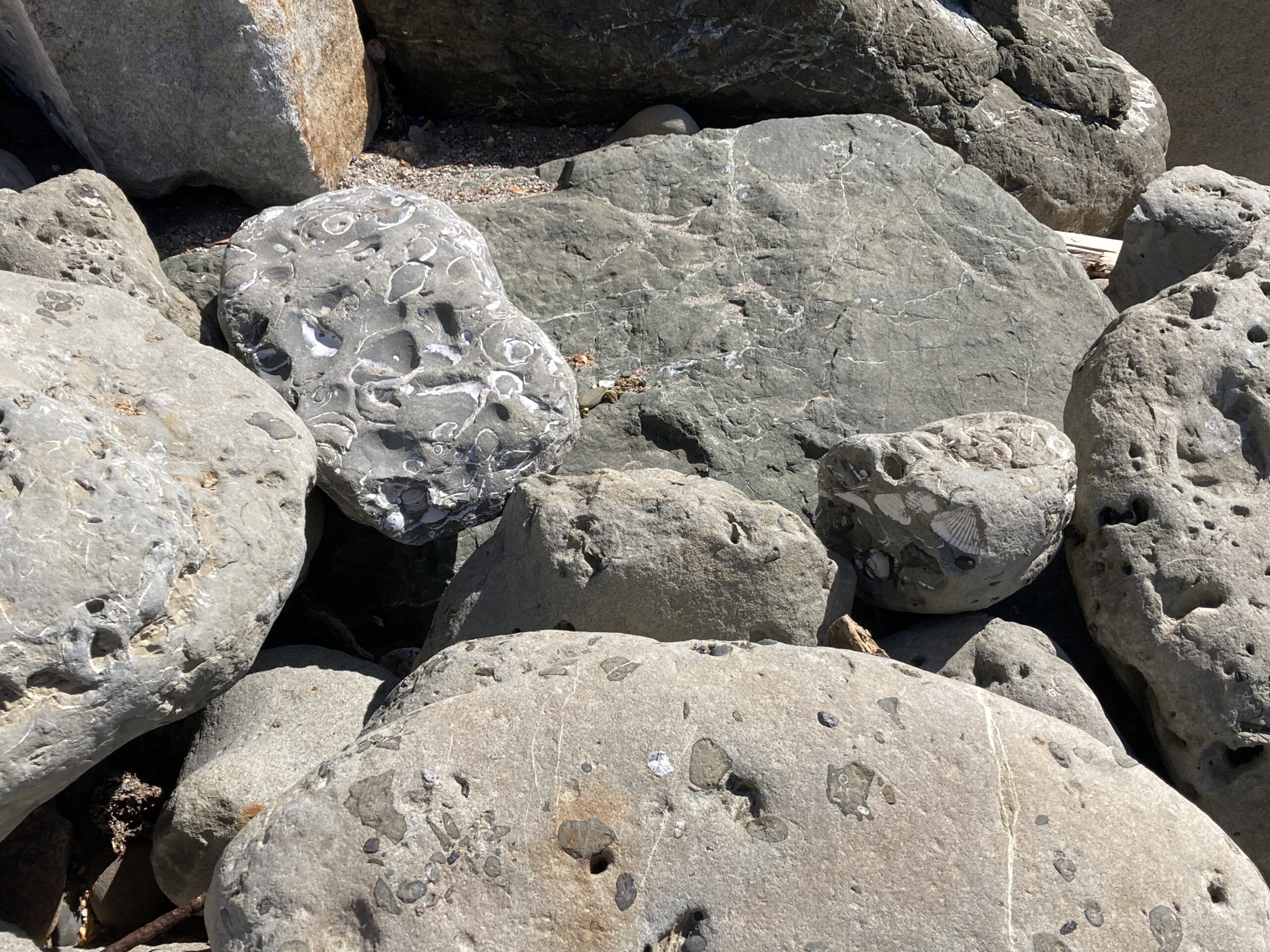
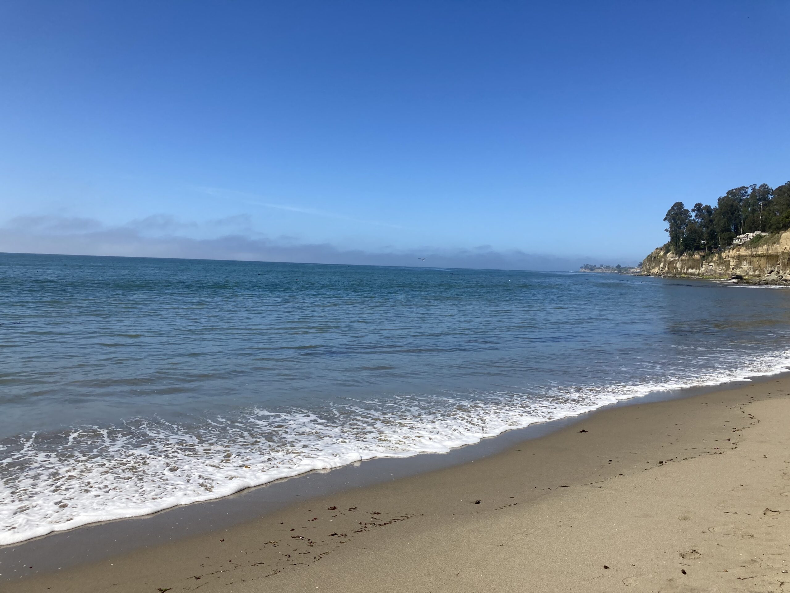
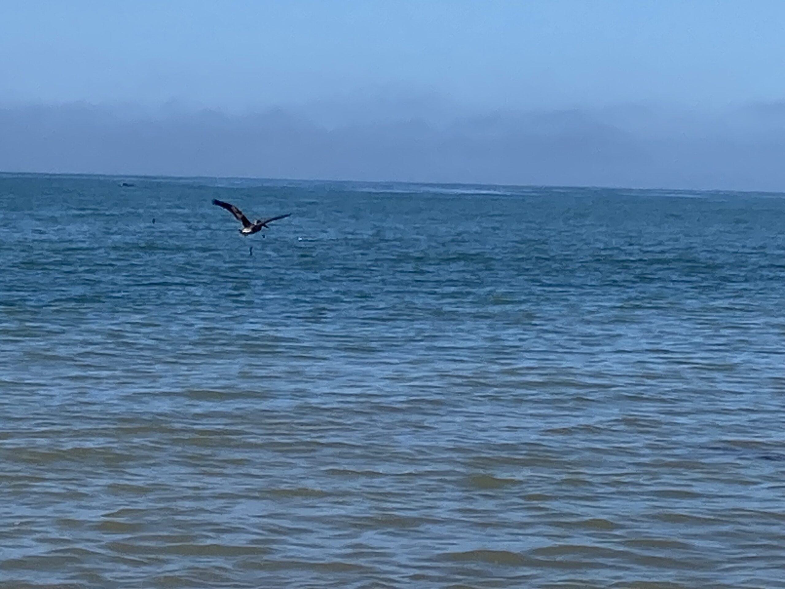
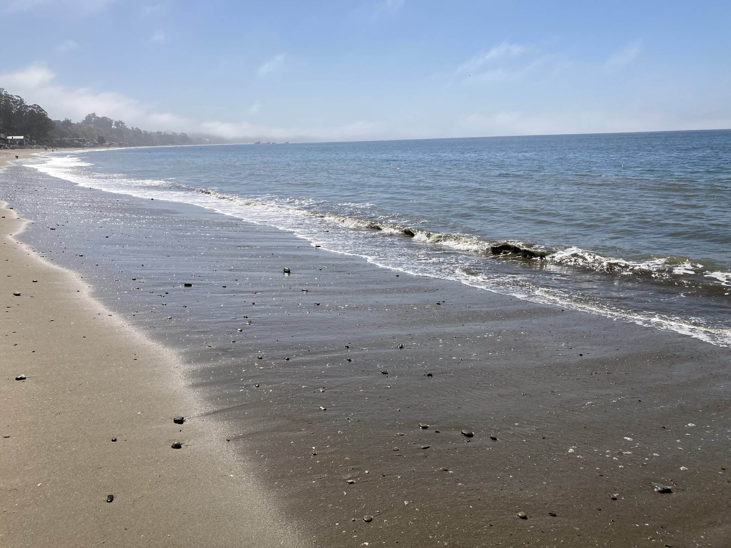
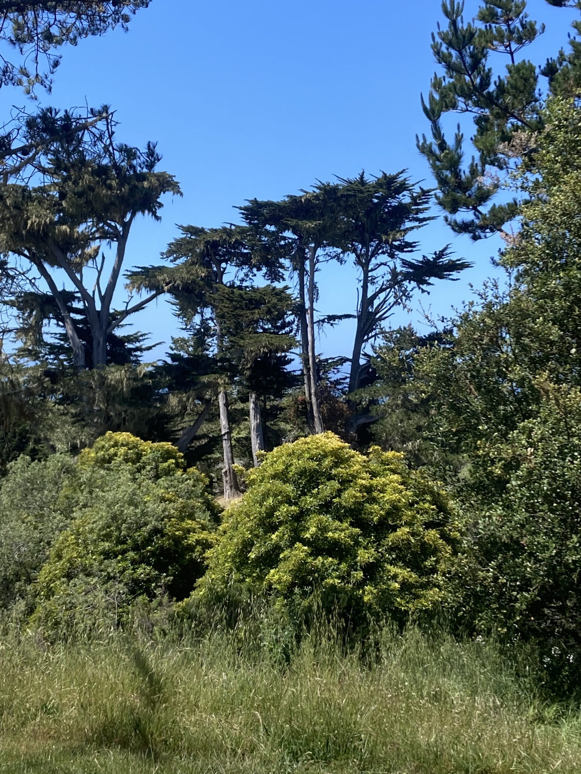
P.S. At the very top west corner of California is a town called Crescent City. There is a lighthouse there called Battery Point that Mom wanted to visit. We stopped there for lunch on our way out of the “official” redwood forest (which never seems to actually end) and toured the grounds until the incoming tide and a nasty fog pushed us back on our way north. Here are some of the photos of that lovely morning: